Brock Crags | Wainwrights Far Eastern Fells
BROCK CRAGS
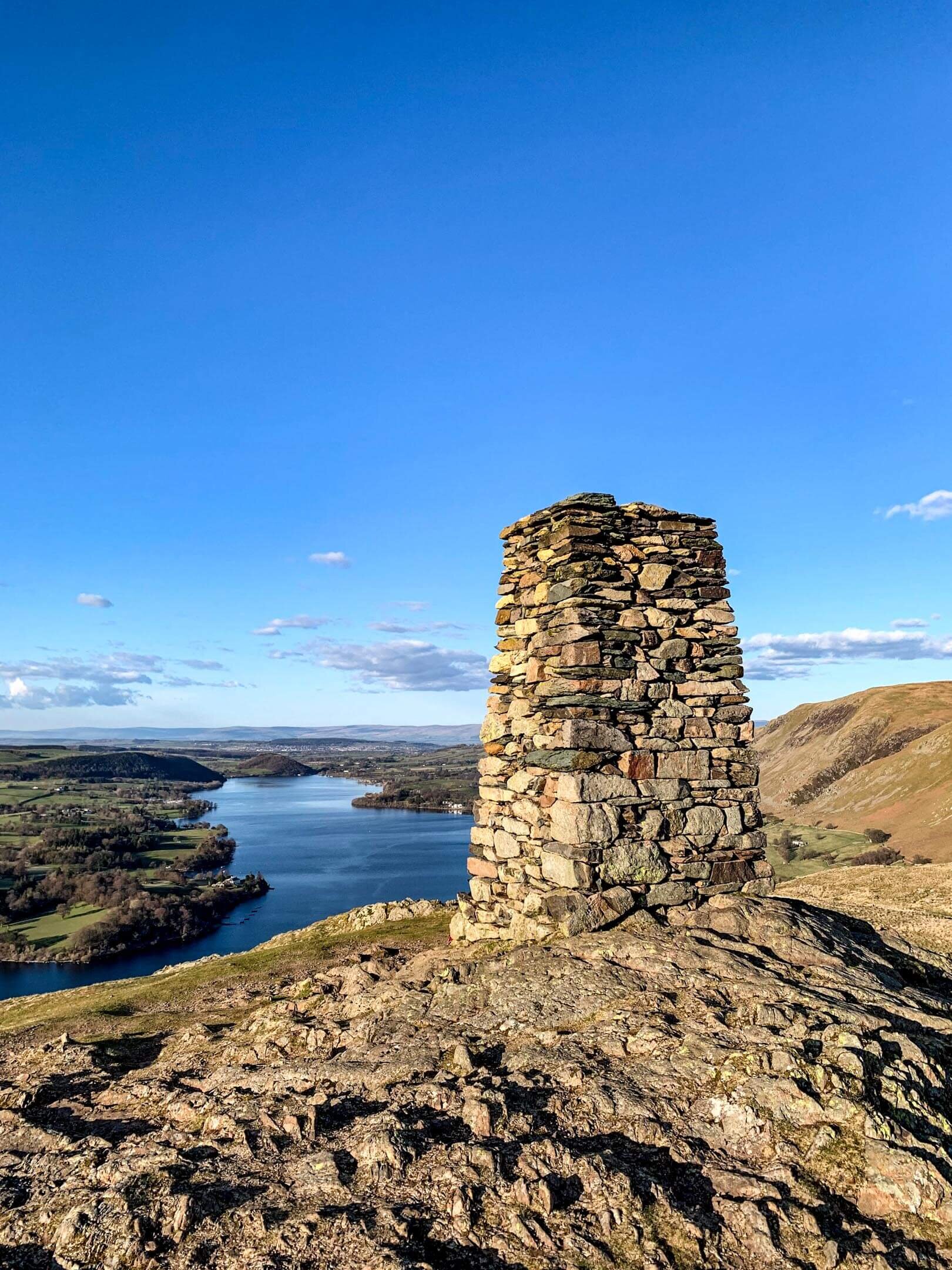
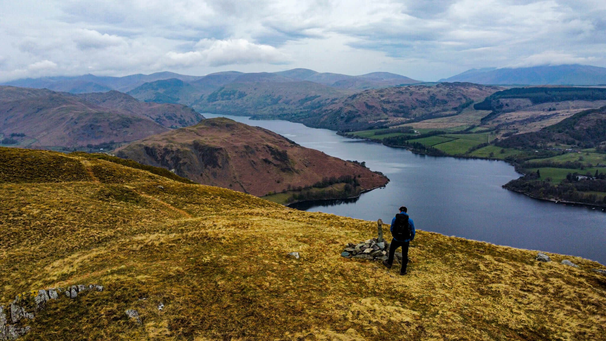
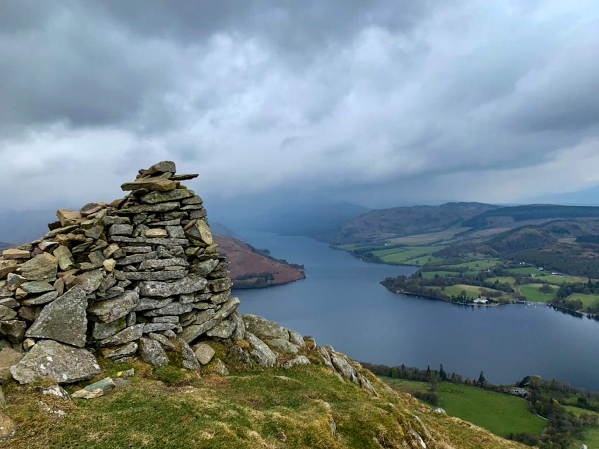
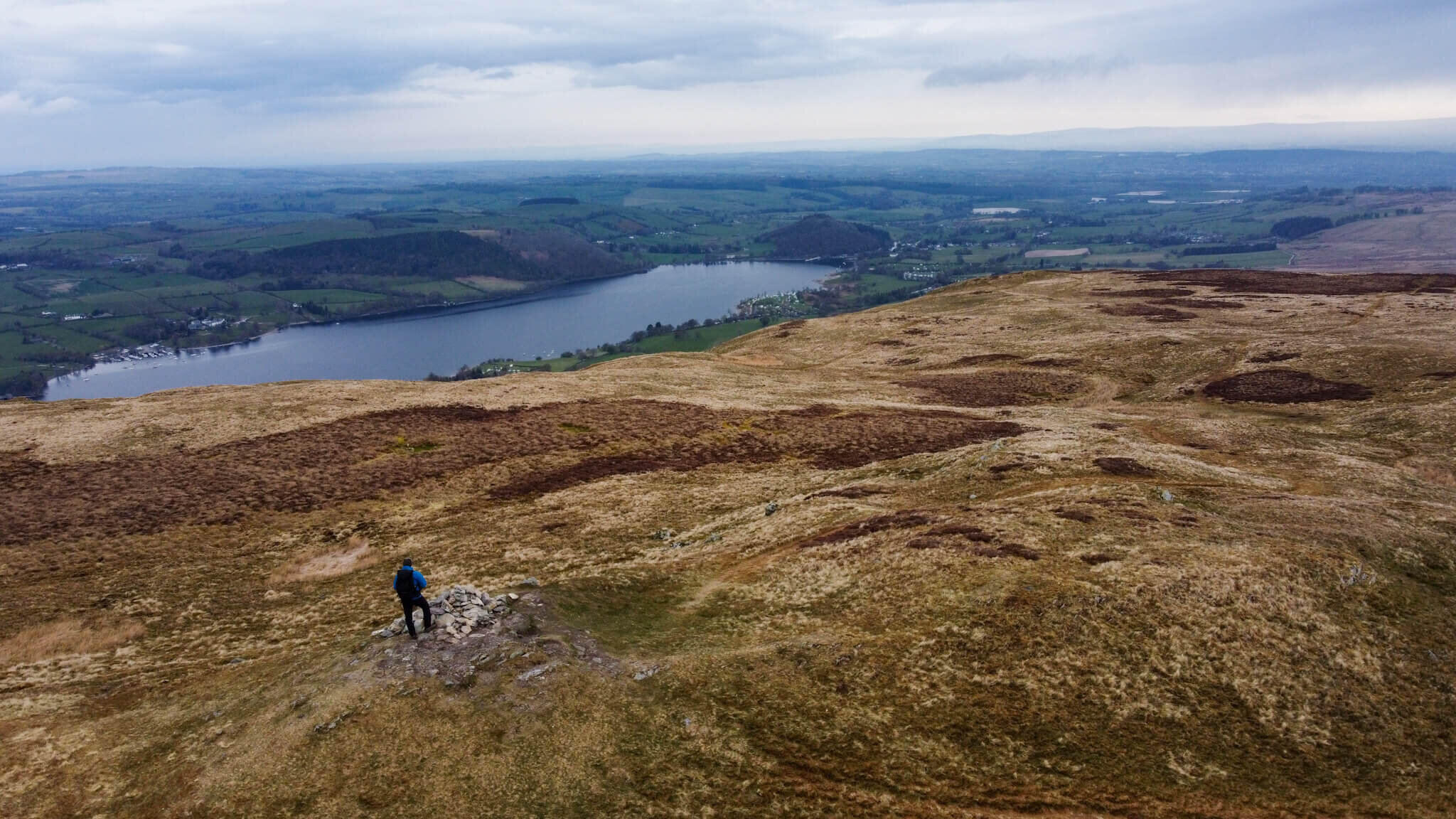
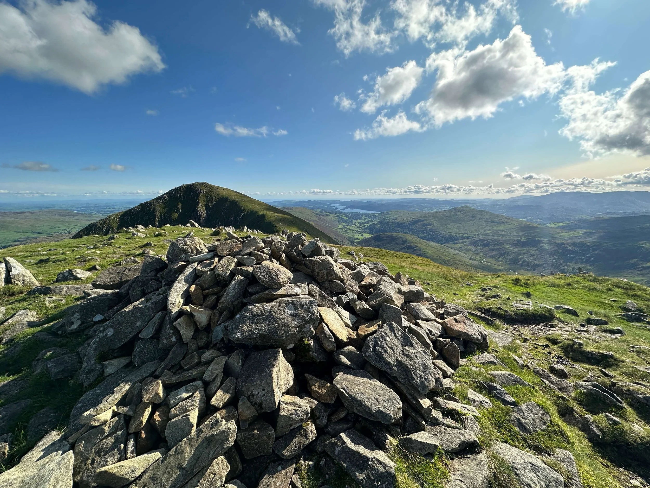
Brock Crags is a gem among the Far Eastern Fells, offering a blend of rugged terrain and serene vistas. The ascent typically starts from Hartsop, taking hikers through picturesque valleys and along the shores of Hayeswater. As you climb, the path meanders through rocky outcrops and lush vegetation, adding a sense of adventure to the journey. The summit, marked by a small cairn, provides a dramatic viewpoint. From here, the views are spectacular, encompassing the tranquil waters of Angle Tarn, the imposing peaks of the Helvellyn range, and the distant Pennines. Brock Crags is less frequented than some of its neighbors, making it an ideal spot for those seeking solitude and unspoiled natural beauty. The combination of varied terrain and breathtaking scenery makes it a rewarding climb, perfect for hikers looking to explore the quieter corners of the Far Eastern Fells while still enjoying stunning panoramic views.
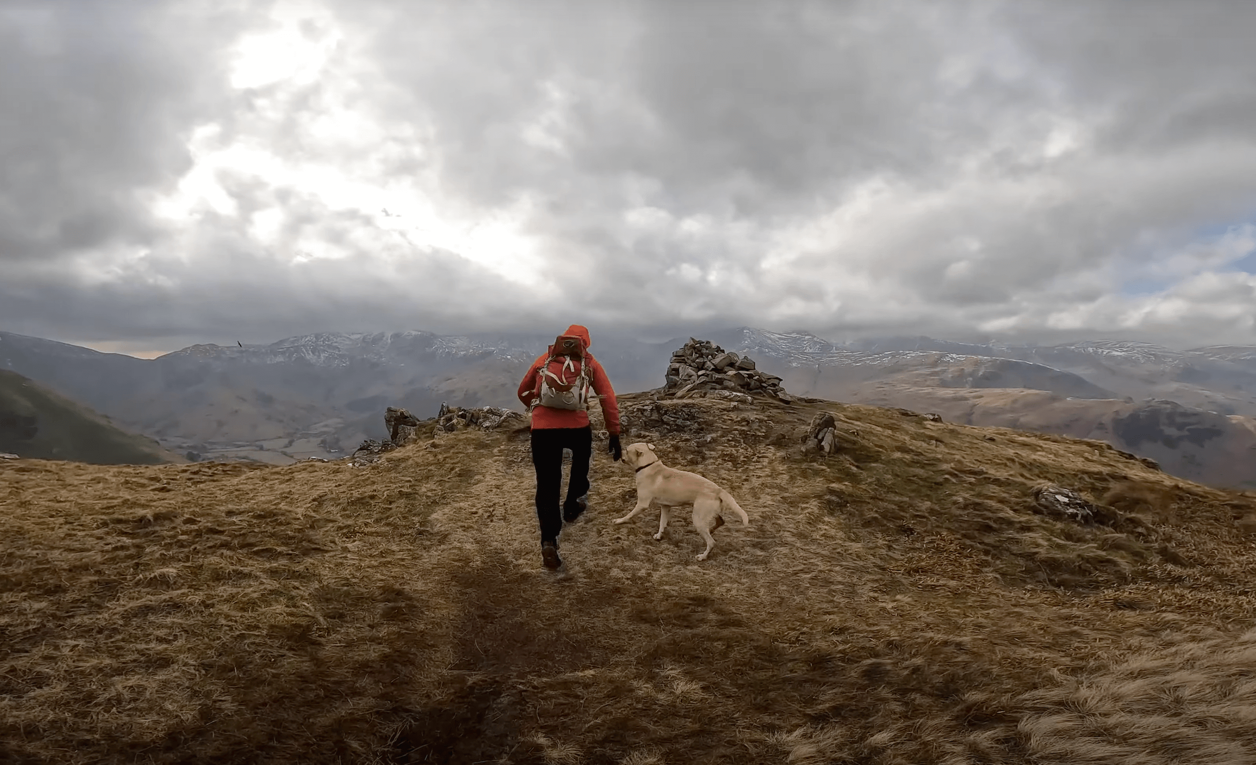
Brock Crags summit in the Lake District is part of the Far Eastern Fells and stands at 561m. Easily combined with other notable Far Eastern Fells such as; Angletarn Pikes, Rest Dodd, or The Knott. I approached Brock Crags from the village of Hartsop heading past Hayeswater along my route. You can check out my route via the following link.
BROCK CRAGS WALK
BROCK CRAGS INFORMATION
HEIGHT IN METRES 561m
HEIGHT IN FEET 1841ft
RANGE Far Eastern Fells
GRID REFERENCE NY 421137
HAVE YOU WALKED BROCK CRAGS? LET ME KNOW IN THE COMMENTS
BROCK CRAGS ROUTE

My route started in the village of Hartsop (173m) where there is a car park with an honesty box. From the car park, there is a steady path that crosses over Hayeswater Gill before climbing further keeping the gill on your left. Just before reaching the Hayeswater Reservoir another bridge, this time wooden will take you back across the gill, and direct you to a knew path heading up towards The Knott.
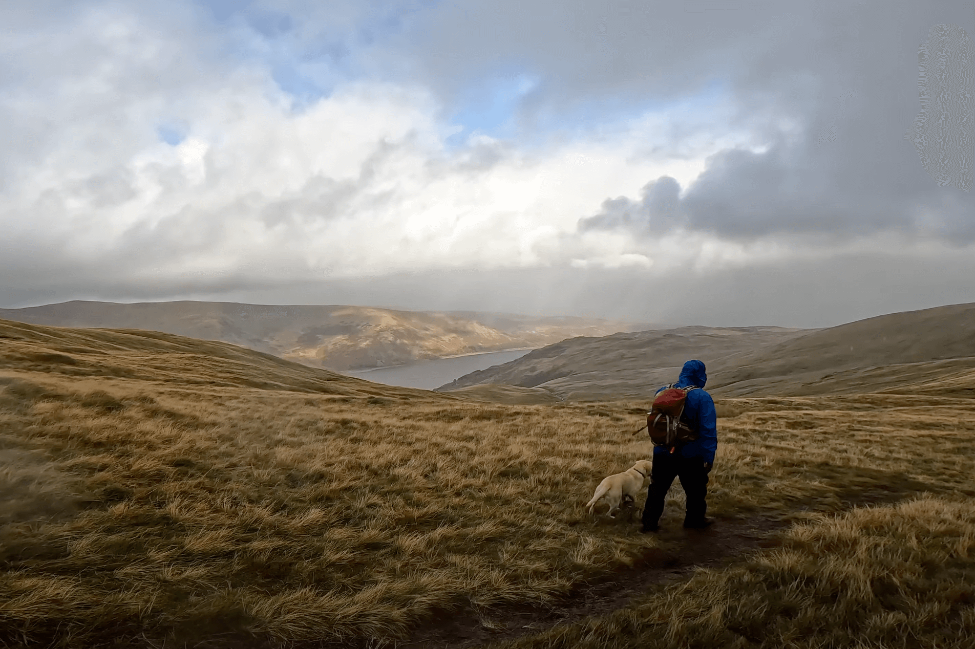
The Knott is the highest point on this route and is accessed by a well-made path that winds its way up towards the summit. The summit of The Knott is marked by a Cairn. As you may see from watching the video I was not at the summit for long due to the conditions.
Heading down from The Knott, briefly along the original path you will take a turn towards Satura Crag. It is worth noting that heading to Rest Dodd is also a possibility and could be added to your route to bag an extra Wainwright.
Satura Crag is rough and rugged offering plenty of opportunity for shelter from the wind. Keeping a stone wall to your left until you find a wooden gate (without a gate) you will pass through and head across to Brock Crags. It is possible to detour from Brock Crags towards Angletarn Pikes if you would like to add a further Wainright to your route, or maybe a wild swim in the tarn.
The route down from Brock Crags finishes in the shelter of Calf Close, a woodland lining Angletarn Beck. At the base of the woodland you will cut back upon yourself and down into the village of Hartsop.

The Knott and Brock Crags Walk
BROCK CRAGS MAP
BROCK CRAGS RELATED POSTS

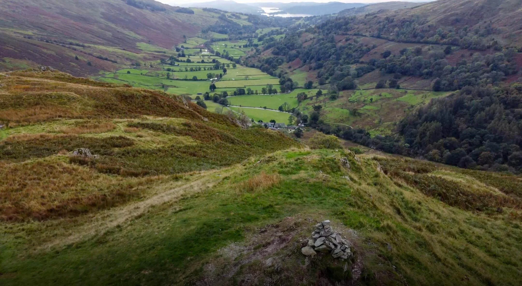

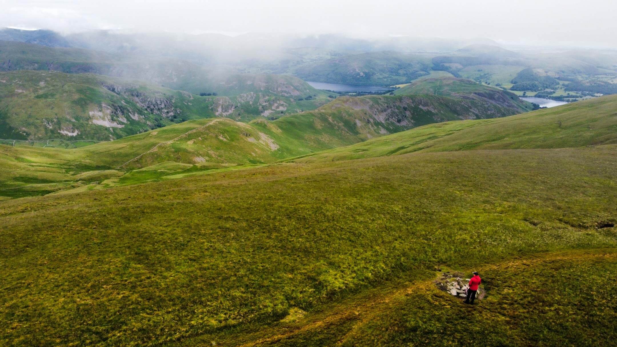









Angletarn Pikes Walk | Lake District Walks
This circular route to Angletarn Pikes can be completed in one day or combined with an overnight camp at the tarn. Honestly, if the weather is right it makes total sense to stay up there and take a dip!

This walk to Angletarn Pikes approaches the tarn from a less travelled direction, Martindale. Most people approach Angletarn from either Hartsop or Patterdale with a number of viable routes. I enjoy the route from Martindale for its more steady approach with only a short steep section towards the end.
WALK OVERVIEW
Start - Martindale
Park at St Martins Church in Martindale. There is parking at St Peters nearby if this area is full.
Distance - 7.37 miles
Duration - 4-5hrs
Difficulty - Moderate
Total Ascent - 592m
Map - You can find my full route here on Ordnance Surveys’ website

PREPARING FOR YOUR ANGLETARN PIKES WALK
NAVIGATION
As with all good walk preparation, you will need a way to navigate on your walk. I use the OS Maps App on my phone and you can find my route here
If you are navigating using your phone be sure to do the following;
Download the map before you leave wifi - you CANT guarantee you will have signal in the mountains.
Bring a battery pack or way to charge your device.
Print a copy of the walk before you leave from the Ordance Survey Website as a back up.
I also use my Suunto Watch as a backup navigation tool, however, if you are not confident that your technology will last you should purchase the Ordnance Survey Map for your walk.
WEATHER
If there is one thing that is for certain when walking in the British Mountains is that you can never be sure of the weather. Even on days that are forecast glorious sunshine, it is best to be prepared for the worst, as conditions can change rapidly.
Check the latest Angletarn Pikes weather here
WHAT TO WEAR
When hiking in the UK it is important to remain flexible and with this in mind layers are certainly your best option. Mountain environments can be unforgiving and weather can change quickly. It is normal to see winds increasing and temperatures dropping as you reach your chosen summit. Make sure to pack a spare layer for the summit.
Suitable footwear in the form of walking boots or shoes is advised, especially when conditions are less than ideal. A good pair of walking boots will offer your ankles support, keep your feet dry and ensure you have grip, especially on those wet days. Yes, you probably could make it to the top in that old pair of tennis trainers… but will your feet thank you?
WHERE TO START
Getting to the start of the walk involves driving down some narrow country roads towards Howtown and Martindale from Pooley Bridge. Be careful as traffic can be busy at peak times and there are few places to pass. It is important to keep an eye out for the last passing place as it is not uncommon for you to need to reverse back down the road.
The postcode for Howtown if you are using your Sat Nav is CA10 2LZ and this should lead you to the Howtown Pier. Parking is possible by the Pier on the roadside but this is limited.
If you fancy a cool alternative to access Howtown consider taking a trip on the Ullswater steamers.
Parking is also possible by St Peter’s Church in Martindale. The church sits at the base of the paths to Hallin Fell and Steel Knotts so is ideally located. This area can become busy so be sure to head up early or late to guarantee a parking spot.
Parking in both Howtown and Martindale is free but be sure to be considerate of other road users. The road is used by farm vehicles and blocking it could result in your car getting ‘bumped’ by a tractor.
FACILITIES
Unlike more popular areas of the Lake like Keswick and Windermere there are no facilities in Howtown and Martindale, besides the Howtown Hotel. To me this is a positive as it draws less people but it is worth noting you should be prepared for a wild wee if you get caught short.
Parking is also possible by St Peter’s Church in Martindale. The church sits at the base of the paths to Hallin Fell and Steel Knotts so is ideally located. This area can become busy so be sure to head up early or late to guarantee a parking spot.
Parking in both Howtown and Martindale is free but be sure to be considerate of other road users. The road is used by farm vehicles and blocking it could result in your car getting ‘bumped’ by a tractor.
FACILITIES
Unlike more popular areas of the Lake like Keswick and Windermere there are no facilities in Howtown and Martindale. To me this is a positive as it draws less people but it is worth noting you should be prepared for a wild wee if you get caught short.
MARTINDALE TO ANGLETARN PIKES CIRCULAR WALK
Starting your walk in Martindale, you should take the road that leads towards Beda Fell and away from St Martins Church. You will be keeping to this road for a while as it winds its way alongside Bannerdale Beck. Keeping Steel Knotts to your left and Beda Fell to your right the road leads towards The Nab as it stands imposingly in the Deer conservation area. This walk is a fantastic one for spotting the local deer grazing as you approach the end of this road.
Looking across to The Nab from under Heck Crag
When you reach the farm at Dale Head, take the path to the right which leads up towards Heck Crag. This part of the walk can be overgrown in the summer, check this video (5:06) however the path is still well defined. From Dale Head there is a steady incline as you follow the stone wall all the way to the base of Heck Crag. The final approach gets a bit steeper as you earn your approach to Angletarn, don’t worry the scenery at Angletarn is worth it.
View of my tent pitch at Angletarn
If you have the time and the weather stopping the night at Angletarn makes perfect sense. The opportunity to spend the evening by the tarn and take a wild swim is a must. However all good things come to an end and when it is time to descend back to Martindale you can complete this circular route by leaving Angletarn towards Boredale Hause. Boredale Hause is somewhat of a crossroads and from here you can descent to Patterdale or head up towards Place Fell. If you are continuing my route back towards Martindale you will descend through Boredale keeping the Boredale Beck on your right this time.
Similar to your route up you will eventually find yourself doing some road walking until you head up and over Howstead Brow at the base of Beda Fell. From here it will be a short amble back to your car.
When walking the path up it is essential to take time to turn around and look at the scenery behind you. The views back towards the Martindale Horseshoe are impressive, letting your mind run away with the many possibilities of walking routes in the area. It was on this part of the walk that I decided to make Beda Fell Episode 2 in #mywainwrightsproject
ANY QUESTIONS?
Be sure to leave any questions in the comments and I will try my best to help you with your Angletarn Route. If you found this post useful and want to support me to make future content consider using the QR code to Buy Me A Coffee. All proceeds go towards supporting this website.
Thanks for stopping by and while you are here why don’t you check out some related posts below.

Beda Fell | Wainwrights Far Eastern Fells
Beda Fell offers a hike that is both scenic and serene, making it a favorite among hikers seeking solitude. The journey to Beda Fell typically begins from Howtown, where the trail ascends gently through verdant fields and past ancient stone walls. As you climb, the landscape opens up to reveal stunning views of the surrounding fells and valleys. The summit of Beda Fell is marked by a modest cairn, but the real highlight is the panoramic vista it provides. To the west, you can see the shimmering expanse of Ullswater, while to the east, the rugged peaks of the High Street range dominate the skyline. Beda Fell is less crowded than some of the more famous fells, offering a peaceful and contemplative hiking experience. Its undulating ridge and open views make it a rewarding climb for those looking to immerse themselves in the natural beauty of the Far Eastern Fells.
Beda Fell Summit
BEDA FELL INFORMATION
Beda Fell is a modest but rewarding ridge in the English Lake District, rising to 509 meters (1,670 feet) between Patterdale and Ullswater and offering superb, compact walking with panoramic views. The fell forms a grassy, undulating ridge running north–south from Beda Head above Ullswater down toward St. Sunday Crag’s eastern slopes; routes commonly start from Patterdale village or the car park at Brotherswater, making for accessible day walks. The terrain is mostly grass and short heather with some rocky sections near the summit and a few steeper scrambles on the eastern face, so sturdy footwear is advisable; the ridge gives excellent views across Ullswater, the Helvellyn range to the west, and the lower Greenside valley to the east. Beda Fell is often enjoyed as part of a longer circuit including Glenridding, Place Fell, or St. Sunday Crag, and its relatively quiet paths make it a pleasant alternative to busier nearby peaks while still delivering classic Lakeland scenery.
HEIGHT IN METRES 509m
HEIGHT IN FEET 1670ft
RANGE Far Eastern Fells
GRID REFERENCE NY 428171
BEDA FELL VIDEO
BEDA FELL GALLERY
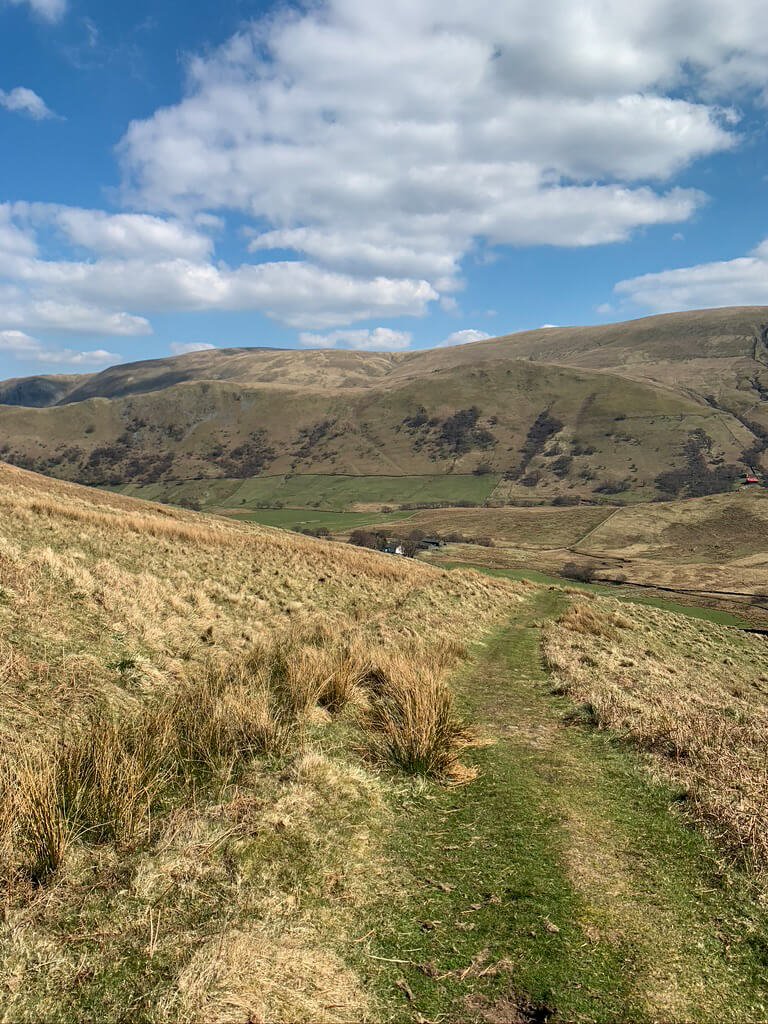
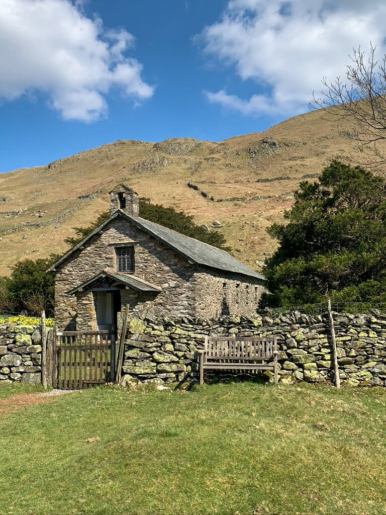
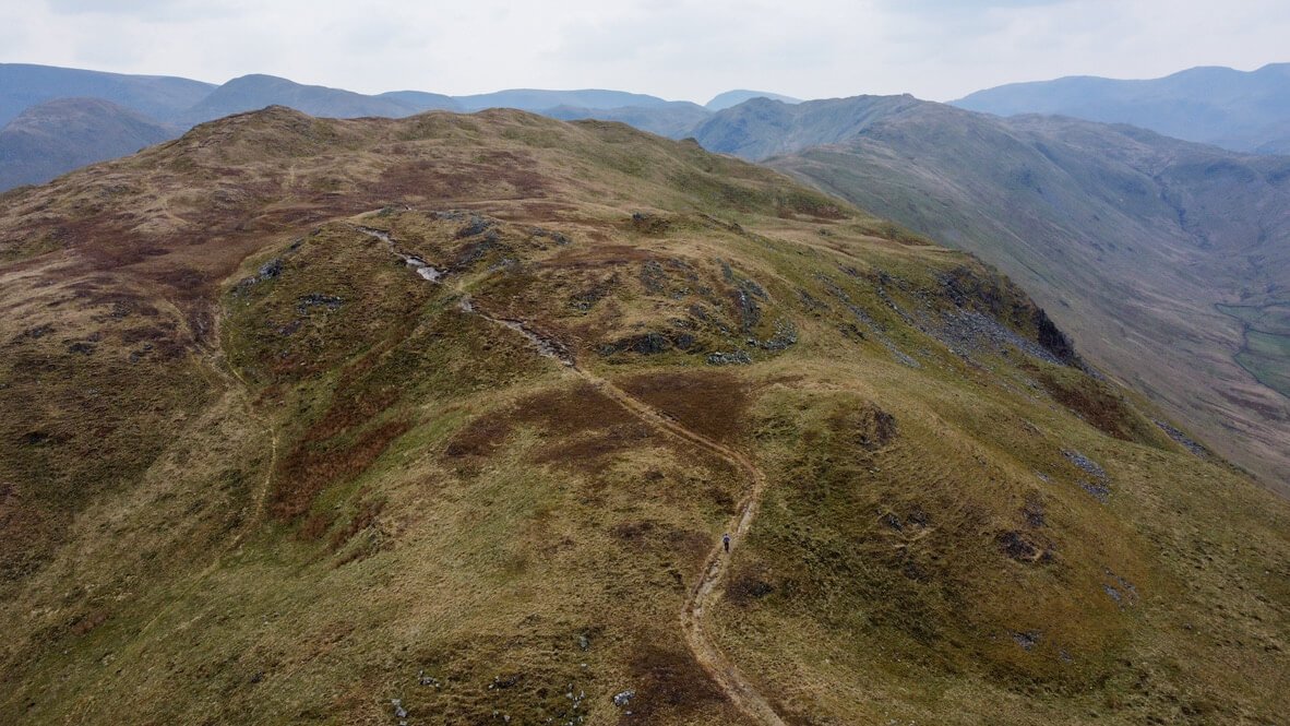
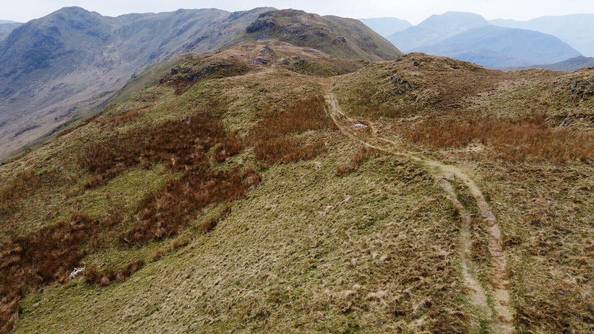
BEDA FELL LOCATION
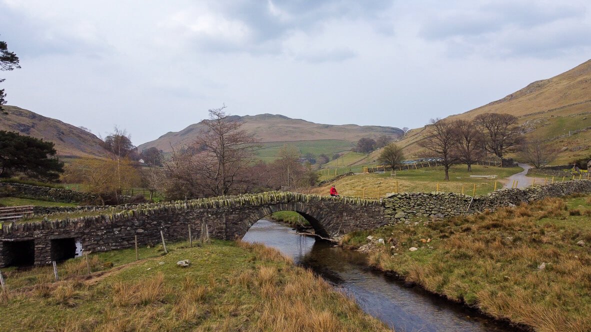
Beda fell is best accessed from the town of Martindale, near Howtown, in the Far Eastern Fells. Access to Martindale is down a long single-track road, where your driving skills can be tested if you come face to face with farm vehicles. When in Martindale you should park at the Old Church for the best access to Beda Fell.
Frequently Asked Questions about Beda Fell
Q: What is Beda Fell?
A: Beda Fell is a beautiful mountain located in the Lake District National Park in Cumbria, England. It is part of the eastern ridge of the Martindale Fells and offers stunning panoramic views of the surrounding countryside.
Q: How high is Beda Fell?
A: The summit of Beda Fell stands at approximately 509 meters (1,670 feet) above sea level, making it one of the smaller fells in the Lake District. Despite its modest height, it provides an enjoyable and manageable hike for adventurers of all levels.
Q: What are some popular routes to hike Beda Fell?
A: There are several popular routes to hike Beda Fell, and the choice will depend on your preference and level of experience. One option is to start from Martindale and follow the ridge up to the summit. Another popular route is to include Beda Fell as part of a longer circular walk, incorporating other nearby fells such as Place Fell and Angletarn Pikes.
Q: How long does it take to hike Beda Fell?
A: The duration of the hike will vary depending on your fitness level, the route chosen, and the weather conditions. On average, hikers can complete the Beda Fell route in approximately 2-3 hours. However, it's always advisable to allow for additional time to enjoy the breathtaking views and take breaks as needed.
Q: Are there any facilities or amenities available on Beda Fell?
A: Beda Fell is a remote and unspoilt fell, and there are no facilities, such as restrooms or cafes, directly on the mountain. It is essential to come prepared with enough food, water, and suitable clothing for the hike. Nearby villages or visitor centres may have amenities, but it is advised to check their availability before your visit. The closest small town is Pooley Bridge which has a selection of restaurants and shops.
Q: Is it necessary to have hiking experience to climb Beda Fell?
A: No extensive hiking experience is needed to climb Beda Fell, as it is considered a moderate hike suitable for beginners. However, it is always wise to be prepared and have a basic understanding of hiking safety and navigation. Proper footwear, a map, and appropriate clothing are recommended for an enjoyable and safe ascent.
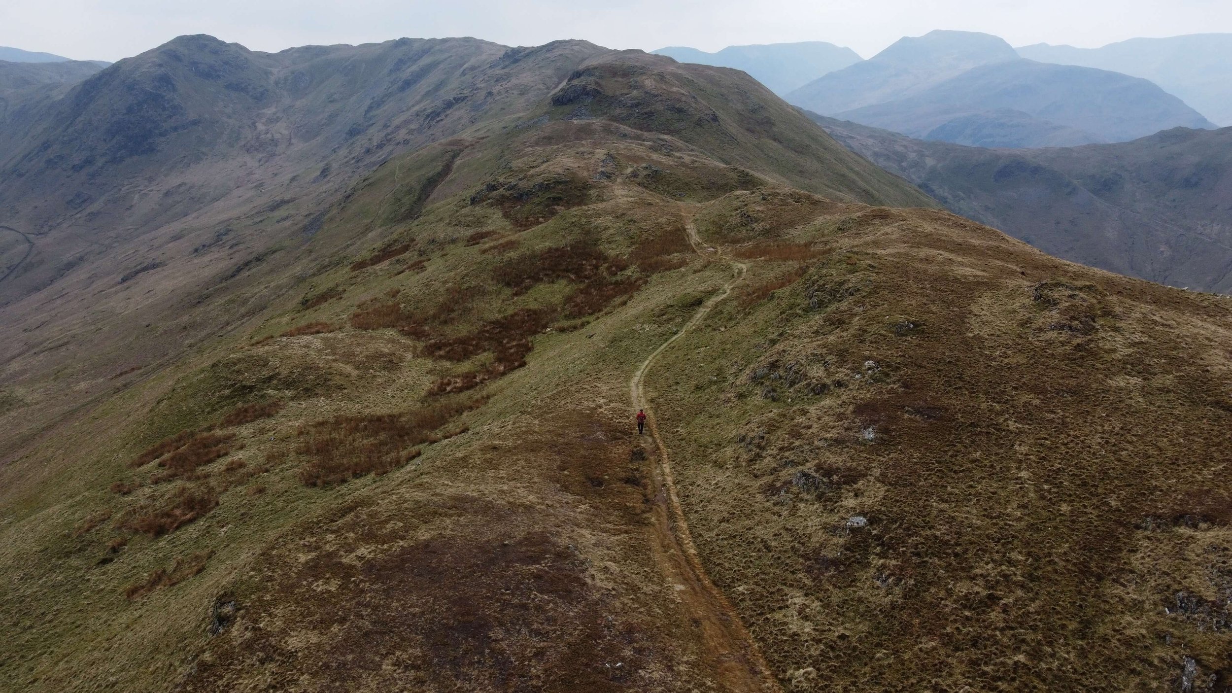
BEDA FELL WALKING ROUTE
FAR EASTERN FELL POSTS
The Far Eastern Fells
Alfred Wainwright’s Book Two, The Far Eastern Fells looks at a group of hills in the English Lake District. The Far Eastern Fells occupy the area to the east of Ullswater and the Kirkstone Pass. This area is far quieter than the central fells with less in the way of accommodation and facilities. Although you may find yourself alone in the Far Eastern Fells, some argue that walking here is less exciting. I love this area and there is a challenge to be found alongside some pretty extraordinary views.
The highest point in the Far Eastern Fells is High Street at 828m, although you don’t need to get high to get the goods in the part of the Lakes. With stunning views from smaller fells such as, Hallin Fell or Steel Knotts there is plenty to suit everyone here.
The Far Eastern Fells chapter in Wainwright covers the long, varied ridges encompassing well-known summits such as High Street, Place Fell, and Angletarn Pikes. Key access points and towns include Ambleside and Patterdale alongside Pooley Bridge or Howtown for routes into the High Street/Haweswater area.
THE FAR EASTERN FELLS
FAR EASTERN FELLS VLOGS




High Rigg from St John's Church | Lake District Walks
What High Rigg lacks in height it certainly makes up for in views. This diminutive fell in the English Lake District offers some incredible views towards Blencathra, Helvellyn, and Thirlmere. This walk itself is perfect for those beginning their fell walking adventures or those who like a slow amble to warm their legs before the ascent.
High Rigg Summit View To Thirlmere
WATCH THE VIDEO
Despite its name High Rigg, this small Wainwright is only 357m in height. This walk to High Rigg leads you around the base of the fell before ascending Wren Crag onto a undulating ridge. Once on the ridge you are able to benefit from extensive panoramas in every direction. This High Rigg walks ensures that you will be able to admire; Blencathra, Helvellyn, Skiddaw and Thirlmere.

WALK OVERVIEW
Start - St John’s In The Vale, Church
The church of St John’s in the Vale ( Grid Reference - NY 307225) is the starting point for this walk. Be aware that the church asks you to respect its parking and that you do not use the spaces associated with the church itself. There is parking available on the verge just past the youth centre. The church of St John’s in the Vale is a Grade II listed building and is well worth taking a look around either before or after your walk.

View of Blencathra from outside the Church
Distance - 7.72km / 4.8 miles
Duration - 3 hrs.
Difficulty - Easy
Total Ascent - 363m
Map - You can find my full route here on Ordnance Surveys website

High Rigg Circular Walking Route
STARTING YOUR HIGH RIGG WALK
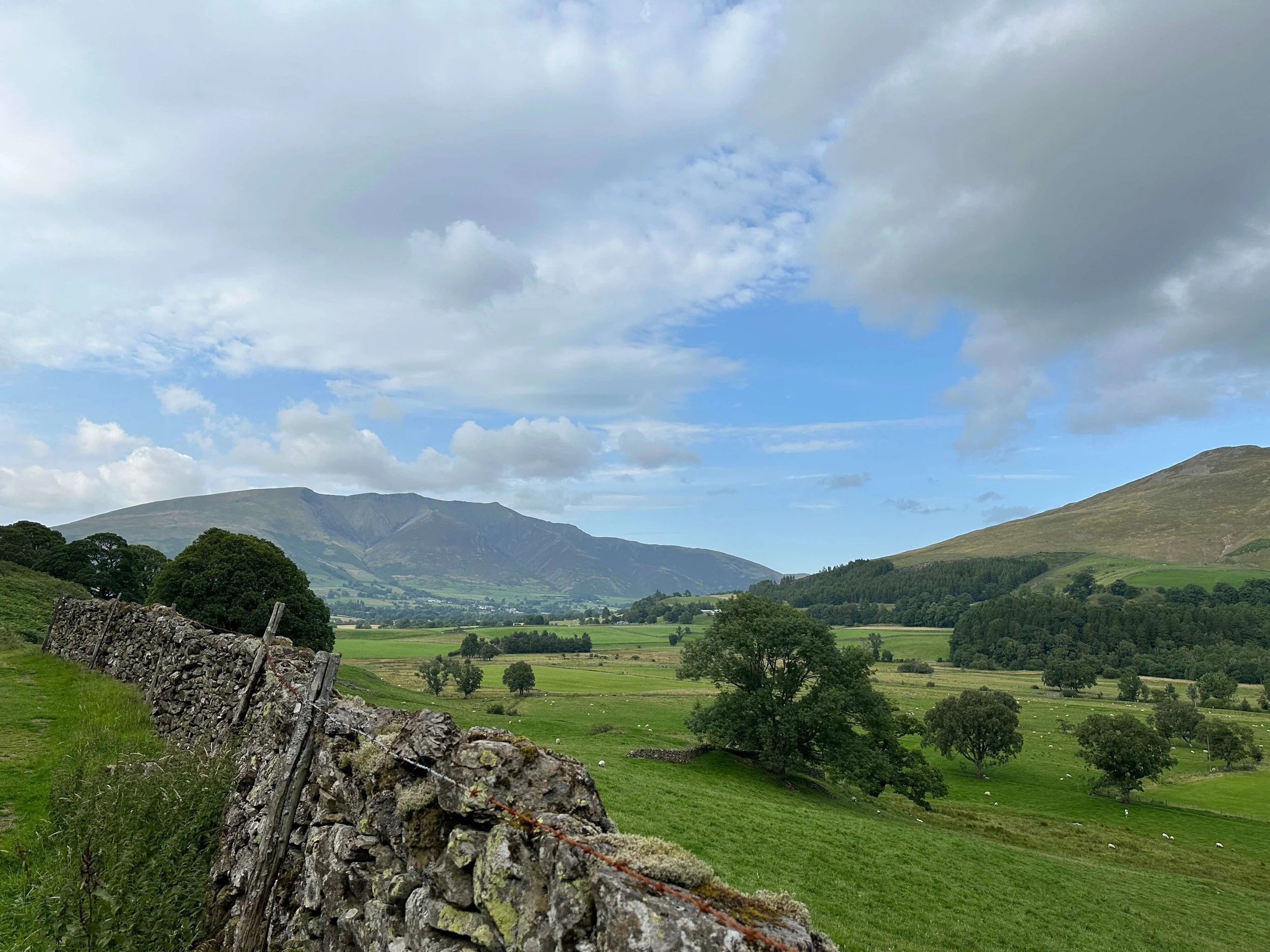
Views back towards Blencathra
Heading down the hill and keeping the church on your right-hand side, you will see a gate which marks the real start of this walk. Heading through the gate will take you onto a path that leads around the base of High Rigg. On this path, there will be ample opportunity to take in views towards Blencathra, Clough Head and Helvellyn.
FACILITIES
There are no facilities available at the start of this walk however there is a fantastic Tea Room at Low Bridge End Farm available before the ascent. The Tea Room is open between 10:30 and 16:30.
HIGH RIGG ROUTE
The initial section of this walk stays low and leads you around the base of High Rigg towards Wren Crag. This gentle path meanders alongside St John’s Beck which runs between High Rigg and Great Dodd. The valley of St John’s in the vale is stunning and acts as a frame for views back towards Blencathra.
Following this path during the day can be rewarded with a stop at Low Bridge End Farm, who serve tea and cakes.

St John’s in the Vale

Looking back towards Helvellyn and the Dodds
After Low Bridge End Farm you continue around to the base of Wren Crag. It is from here that the ascent really starts with the path quickly heading up to 311m. The path to Wren Crag, heads up through tightly packed trees, however, the path remains well-defined.
You are rewarded for the quick ascent with some excellent viewpoints including the one below looking towards Thirmere.

View of Thirlmere from Wren Crag.

Path towards Branstree with Harter Fell in the background.
Once at Wren Crag, the majority of the hard work is done with you already on the ridgeline to approach High Rigg. This section of the walk is where you get the rewards for your earlier endeavour with views in every direction.

Walking the ridge approaching High Rigg
Keeping Blencathra in front of you, follow the rolling path as it weaves along the ridge towards High Rigg summit. This was how Wainwright himself intended you to experience this walk commenting ‘The journey should be made from south to north so that the fine view of Blencathra is in front.’

Walking the ridge with Blencathra in front.
Eventually, you will reach a stile which needs to be crossed before the final push towards the summit. This area was full of bracken but a clear path cuts its way through the middle.

Crossing the Stile - High Rigg
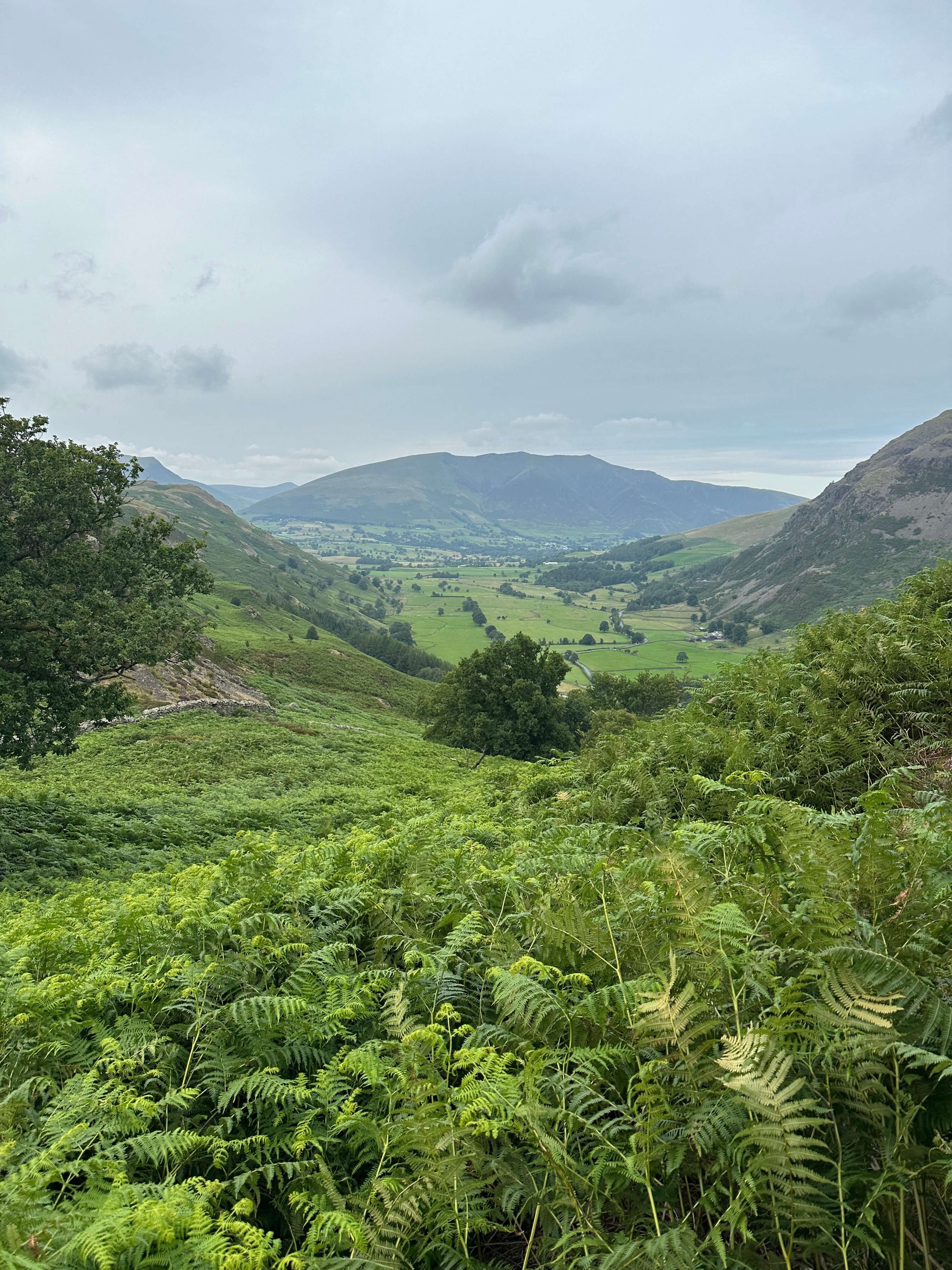
The summit at High Rigg is marked with a cairn that sits upon a rocky outcrop. From here the views are the best throughout the whole walk. Regardless of the direction of gaze there is something of interest with; Bassenthwaite, Thirlmere, Skiddaw, Blencathra, Helvellyn, and Clough Head all in view.

The final approach to High Rigg
HIGH RIGG GALLERY




TOP TIPS FOR WALKING HIGH RIGG
Avoid walking High Rigg on a Sunday if you are intending to park near the church of St John.
There are shorter walks directly from the church if you are looking to save time on your High Rigg walk.
Thanks for reading this post. If this post provided value for you then you can support me in making future content by using the link below to Buymeacoffee.
Alternatively, you can use the tip jar: https://monzo.me/simonburgess8
MORE FROM THE CENTRAL FELLS







Branstree and Selside Pike From Haweswater | Lake District Walks
This Branstree and Selside Pike walk allows for a circular route from Mardale Head which looks down upon the fantastic Haweswater Reservoir and tramples the Old Corpse Road. If you are looking for a quieter region of the Lakes then the Far Eastern Fells do a great job of delivering on adventure and views, but staying away from the crowds.
Looking back over Haweswater Reservoir
WATCH THE VIDEO
Starting this walk on the banks of Haweswater is impressive. In fact, the drive towards the car park at Mardale Head provides excellent insight into the views you can expect from this walk. From the car park, you are surrounded by fells, overseen by the imposing Harter Fell and looking back towards Kidsty Pike and High Raise, this really is a beautiful part of the Lakeland.
WALK OVERVIEW
Start -Mardale Head Car Park
There is ample parking to be found at Mardale Head car park. This car park is free and works on a first come first served basis. Although I have not experienced issues with parking here I can image during the height of summer that an earlier is better rule is best applied.
Distance - 9.5km / 5.9 miles
Duration - 3hr 20 mins - 4hrs.
The initial section from Mardale head along the Gatescarth pass is steep but once at Branstree the route ambles along an easy (if somewhat boggy) path.
Difficulty - Easy-Moderate
Total Ascent - 563m
Map - You can find my full route here on Ordnance Surveys website

Branstree and Selside Pike Circular Walking Route
STARTING YOUR BRANSTREE AND SELSIDE PIKE WALK
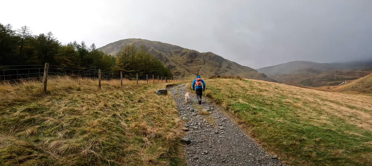
Gatescarth Path
The car park marks the end of the road alongside Haweswater at Mardale Head. From here a gate indicates the start of the ascent along the Gatescarth Pass. The path is well-maintained and makes for an easy-to-navigate route.
FACILITIES
At the car park there are no toilet or shop facilities so ensure you are prepared for your walk in advance. The car park is free of use at the time of writing.
BRANSTREE AND SELSIDE PIKE ROUTE
From the car park, the initial section follows the well-maintained Gatescarth Pass which winds its way from 252m to an intersection around 500m. The intersection is your cue to turn left and start the mellow path along Branstree.
Start of the Gatescarth Pass
Looking back towards Haweswater from the Gatescarth Pass
The path itself is well-defined and starts mellow before hitting a steeper section. At a moderate pace and with a few rest stops this part of the route took around 30 - 40 minutes before reaching the intersection. Plenty of walkers were flying up it, so just judge this section based on your fitness levels.
The Gatescarth Pass dissects Branstree on the left and Harter Fell on the right as can be seen in the photo below.

The Gatescarth Pass cutting between Branstree and Harter Fell.
When you leave the well defined Gatescarth Pass towards Branstree the path is less clear. The next section will involve walking on grass as pictured below. This may be the first section where you require navigation, you can find my route here.
The path up Branstree remains rather mellow and makes for a nice change from the initial steep ascent from the Mardale Head car park.

Path towards Branstree with Harter Fell in the background.
The summit of Branstree is pretty unremarkable with a small marker on the floor of a fairly flat fell top. Slightly further on from the summit is a large cairn that can make for a good wind cover in adverse conditions. The summit of Branstree is the highest section of this walk at 713m meaning that from here you are on a gradual descent.

The walk between the summits of Branstree and Selside Pike can get quite boggy in wetter weather. The reward for your endeavour is fantastic views back down towards Haweswater. This section of the path hugs a long fence, if you keep this on your right hand-side you cant go wrong.
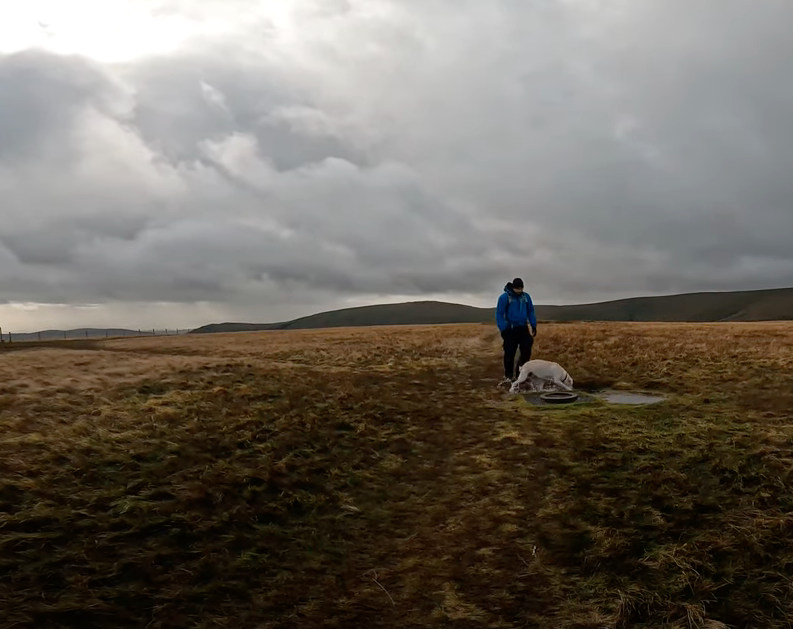
The summit at Selside Pike is marked with a Cairn that makes the perfect shelter from the conditions. See video (5:58). Even in good conditions, the Cairn makes for a great spot to sit, rest and have some grub.
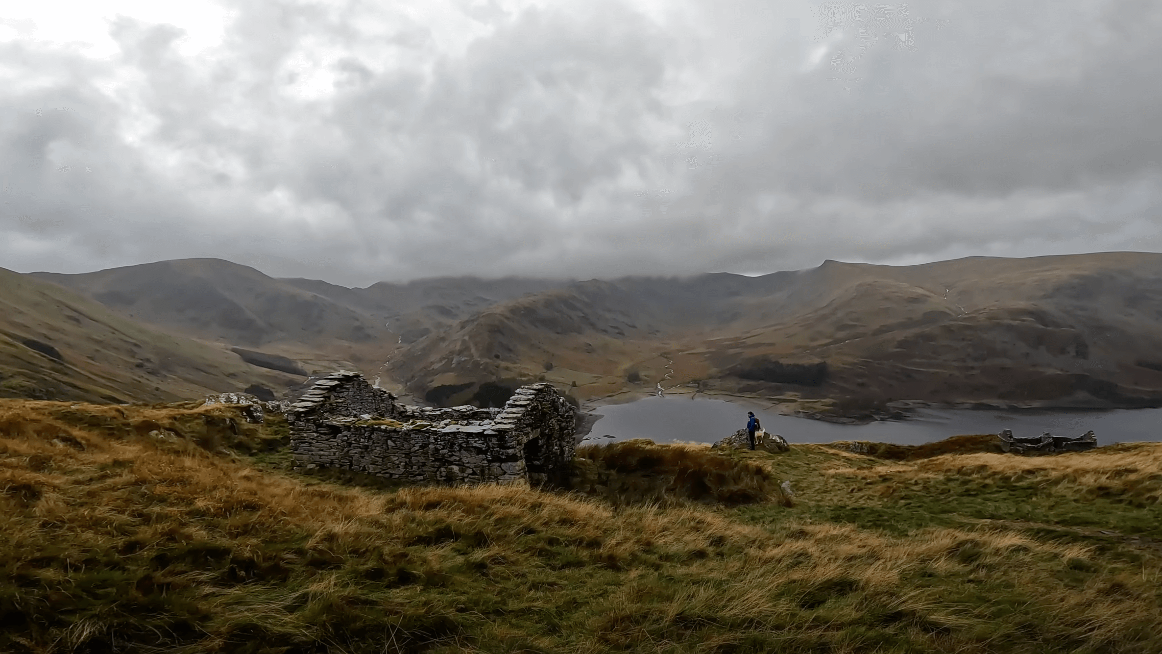
This walk finishes by connecting with the Old Corpse Road. This historic part of the route, leads you back down the fell side and towards the banks of Ullswater. The old shepherd hut pictured is a great spot to get some photos of Haweswater form an elevated position.

BRANSTREE AND SELSIDE PIKE GALLERY




TOP TIPS FOR WALKING BRANSTREE AND SELSIDE PIKE
If your intention is to park at Mardale Head, be sure to get an early start during peak weeks.
Take your time on the way up the Gatescarth Pass. Despite feeling steep, this was actually a highlight of this walk.
Consider wearing gaiters if the weather has been wet recently. There are a few sections of this walk that can be quite boggy.
Thanks for reading this post. If this post provided value for you then you can support me in making future content by using the link below to Buymeacoffee.
Alternatively, you can use the tip jar: https://paypal.me/sjburgess87?locale
MORE FROM THE FAR EASTERN FELLS
Selside Pike | Wainwrights Far Eastern Fells
SELSIDE PIKE
Selside Pike is a summit 655m high in the Far Eastern Fells of the Lake District national park. Categorised as one of the Wainwrights Selside Pike can be combined with nearby Branstree if you are out peak bagging. Selside Pike is a child summit of High Street .
Looking back over Haweswater
SELSIDE PIKE INFORMATION
HEIGHT IN METRES 655m
HEIGHT IN FEET 2149ft
RANGE Far Eastern Fells
GRID REFERENCE NY490111
Have you walked Selside Pike? Let me know what you thought of the views below.
APPROPIATE MAP


WAINWRIGHT’S GUIDES

SELSIDE PIKE VIDEO
SELSIDE PIKE MAP
SELSIDE PIKE WALK SUGGESTIONS
SELSIDE PIKE GALLERY


RELATED POSTS
Beda Fell Circular Route from Martindale
Nestled in the picturesque Lake District National Park, the stunning landscapes of Martindale offer a plethora of breathtaking hiking trails to explore. Among the many scenic routes, Beda Fell stands out as a hidden gem waiting to be discovered. With its tranquil surroundings, sweeping vistas, and a sense of solitude, Beda Fell presents a perfect hiking adventure for nature enthusiasts. In this blog post, we will delve into the beauty of Beda Fell and guide you through a mesmerizing walking route from Martindale
Beda Fell
This Beda Fell walk, begins and finishes in Martindale, a small village on the southeast of Ullswater. Access to Martindale is an adventure in itself. Option one is a narrow country lane from Pooley Bridge via multiple campsites and Howtown. When driving this road, please be aware of the last passing lane… you may need to reverse some way to access it. Option two involves taking the Ullswater Steamer from Pooley Bridge to Howtown. Howtown Jetty is a short walk from Martindale so won’t add much time to your walk however the boat will add some excitement to accessing the walk.
The walk to Beda Fell straggles the valleys of Boredale and Bannerdale and as such offers so great views across both valleys. It is possible when walking this loop to see many deer running in the conversation area surrounding The Nab.
WALK OVERVIEW
Start -ST Martin’s Church Martindale
You can park directly at the church in Martindale but be sure not to block any gates or farm traffic. Outside the church there is space for a few cars, however further parking is available near the base of Hallin Fell and the Church of St Peter if spaces are full.
Tip - Park in Pooley Bridge and take the Ullswater Steamer to Howtown. The lake crossing certainly adds something special to any Howtown adventure.
Distance - 7.9km / 4.9 miles
This distance is calculated on a return circular loop walk to St Martins Church. If you take the Ullswater Steamer to Howtown you will need. to add an additional 1.6 miles to this route.
Duration - 2hr 40 - 3hrs 30 mins.
This is a fairly moderate walk with. a couple of steeper sections. Depending on your fitness levels you can expect around 3 hours of walking for this route.
Difficulty - Easy-Moderate
Total Ascent - 390m
Map - You can find my full route here on Ordance Surveys website

Beda Fell Circular Walking Route
PREPARING FOR YOUR BEDA FELL WALK
NAVIGATION
As with all good walk preparation, you will need a way to navigate on your walk. I use the OS Maps App on my phone and you can find my route here
If you are navigating using your phone be sure to do the following;
Download the map before you leave wifi - you CANT guarantee you will have a signal in the mountains.
Bring a battery pack or way to charge your device.
Print a copy of the walk before you leave from the Ordnance Survey Website as a backup.
I also use my Suunto Watch as a backup navigation tool, however, if you are not confident that your technology will last you should purchase the Ordnance Survey Map for your walk.
WEATHER
If there is one thing that is for certain when walking in the British Mountains is that you can never be sure of the weather. Even on days that are forecast glorious sunshine, it is best to be prepared for the worst, as conditions can change rapidly.
Check the latest Beda Fell weather here
WHAT TO WEAR
When hiking in the UK it is important to remain flexible and with this in mind, layers are certainly your best option. Mountain environments can be unforgiving and weather can change quickly. It is normal to see winds increasing and temperatures dropping as you reach your chosen summit. Make sure to pack a spare layer for the summit.
Suitable footwear in the form of walking boots or shoes is advised, especially when conditions are less than ideal. A good pair of walking boots will offer your ankles support, keep your feet dry and ensure you have grip, especially on those wet days. Yes, you probably could make it to the top in that old pair of tennis trainers… but will your feet thank you?
STARTING YOUR BEDA FELL WALK
This Beda Fell walk begins from St Martins Church in Martindale. You can access the church using the following Postcode CA10 2NF. Parking by the church is free and on a first come first served basis. If there are no available spaces then it is possible to park near the base of Hallin Fell.
FACILITIES
With Martindale being more of a rural village than a tourist hotspot there are no facilities, shops, cafes toilets etc. Your nearest opportunity to get supplies is in Pooley Bridge. Personally, this is a positive as it draws fewer people but it is worth noting you should be prepared for a wild wee if you get caught short.

BEDA FELL FROM MARTINDALE ROUTE
Starting your walk from Martindale means that you are already in the heart of the valley. From the parking spot you will already be taking in some pretty epic views of the surrounding fells. Walking across Christy Bridge in the direction of Winter Crag, you will see a farm on your right hand side. Walk past this farm and on the bend of the road you will see a path leading up Winter Crag. This is your entry point to the Beda Fell walk.

Bannerdale Valley Views
The path slowly leads up towards Howstead Brow, where you will get your first viewpoint from a bench on Howstead Brow. Although early in the walk, this viewpoint makes a fantastic spot to adjust any layers or just take in the view of Ullswater.

Viewpoint At Howstead Brow
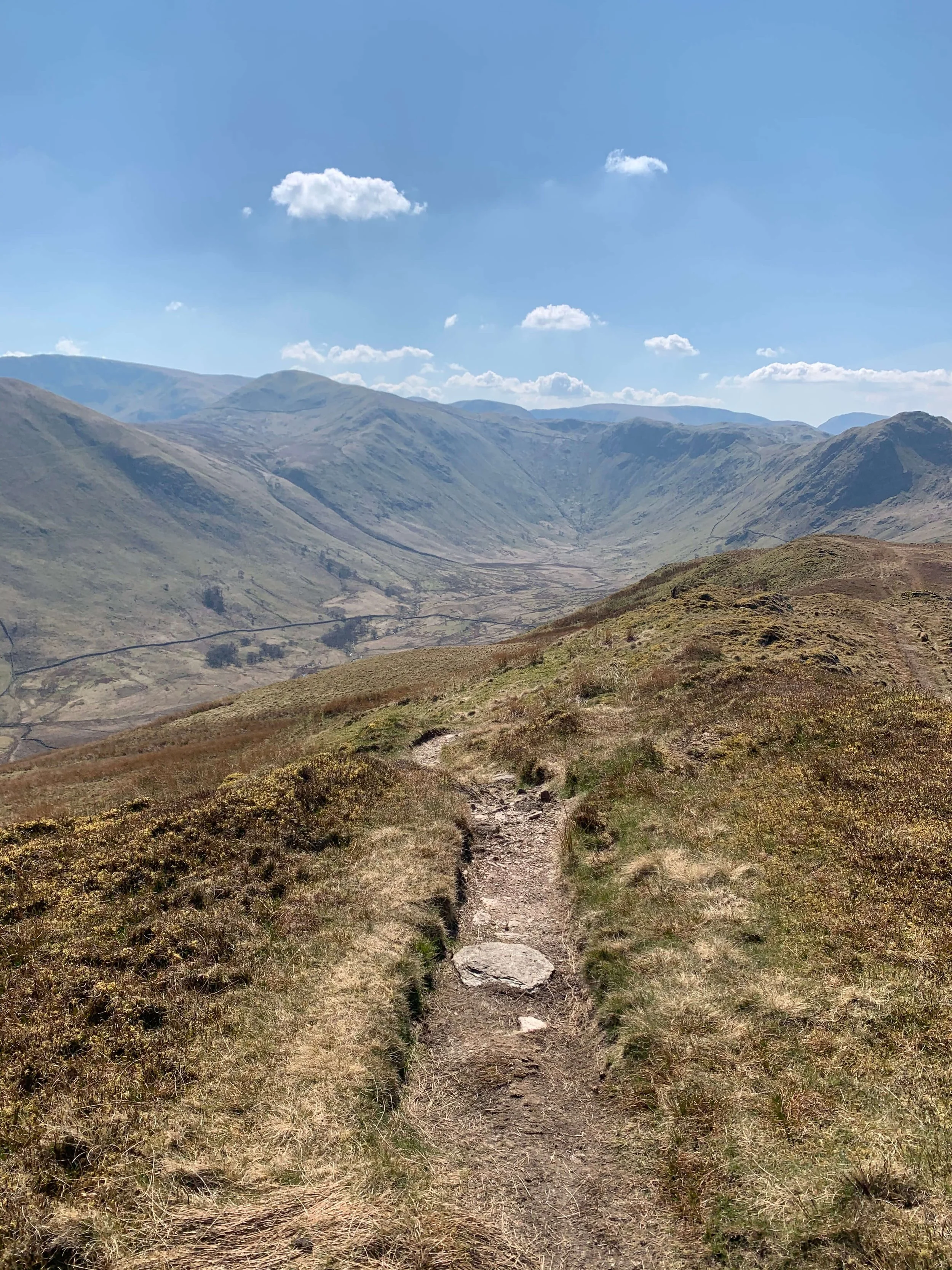
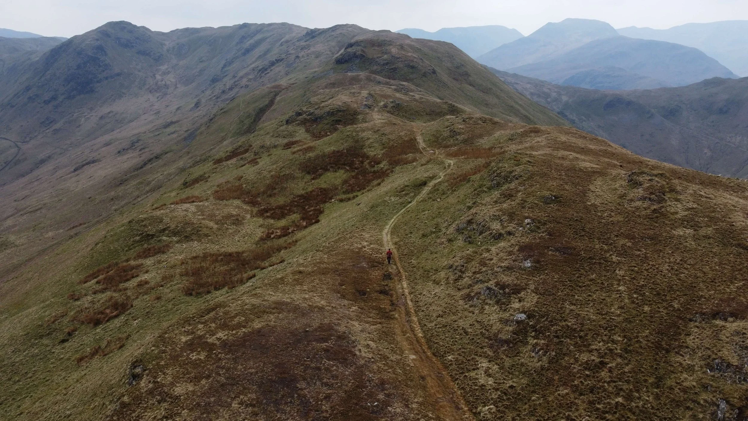
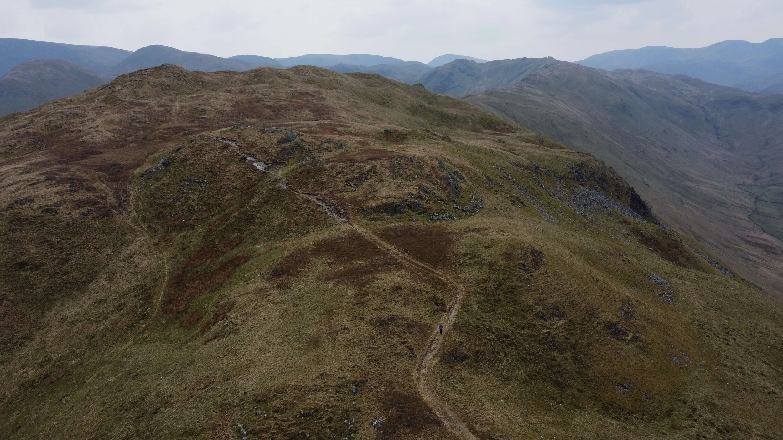
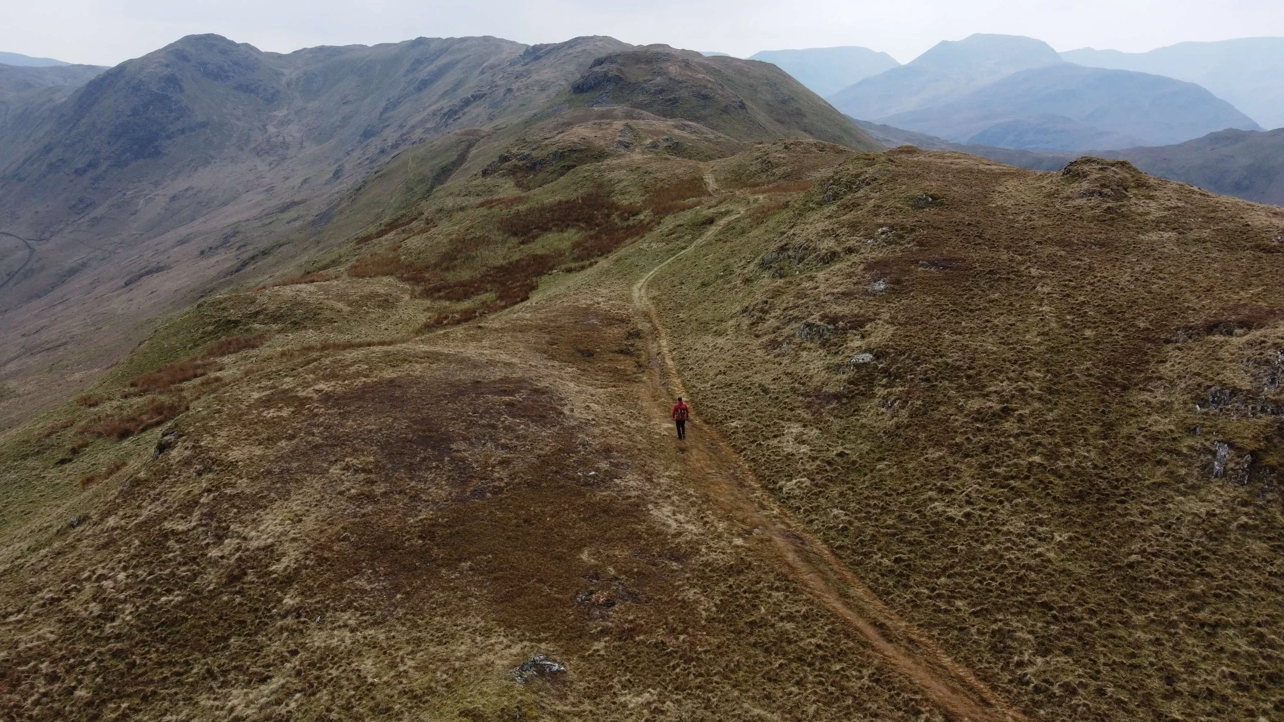
From Howstead Brow the path winds its way along the tongue splitting the valleys of Bannerdale and Boredale. There is little to go wrong in terms of navigation here with the path to Beda Fell well-trodden. There is a false summit at Low Brock Crags a mere 60m below the summit of Beda Fell at Beda Head 509m.

The Path to Beda Head
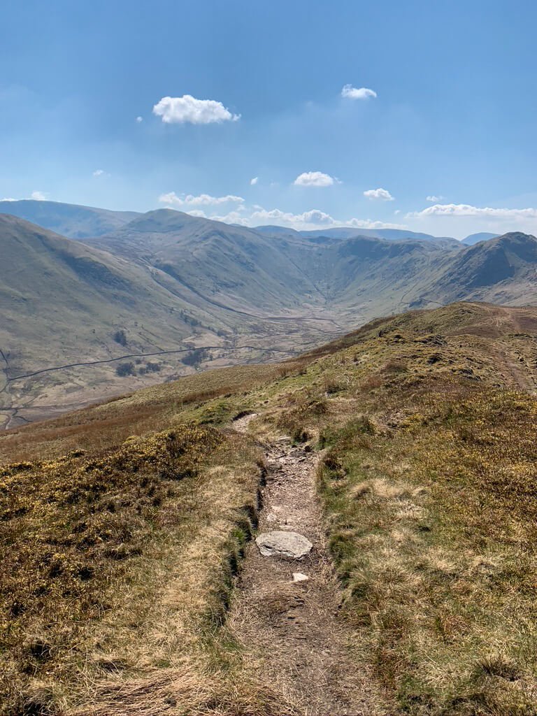
The route to Beda Head is meandering and you will need to account for the odd small rocky approach. Although there is a little clambering required to navigate the rocks, nothing technical or challenging stands in the way of your approach.
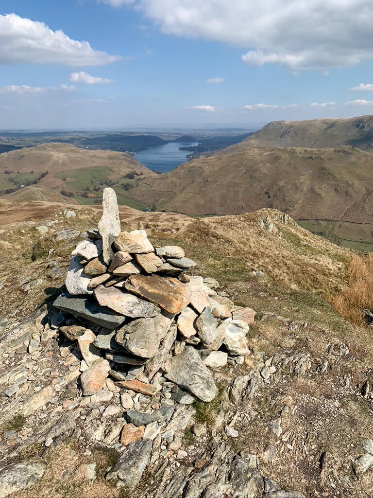
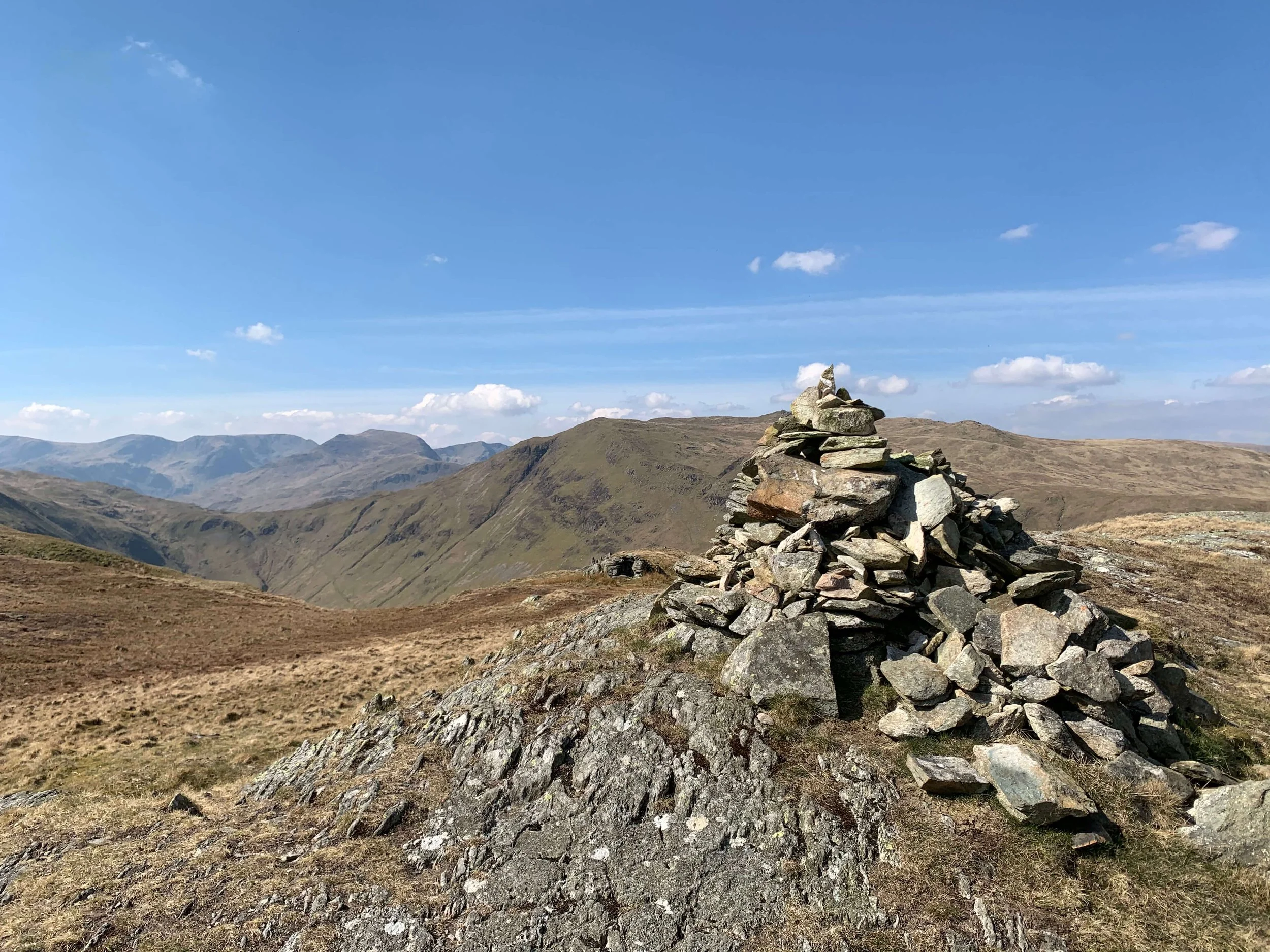
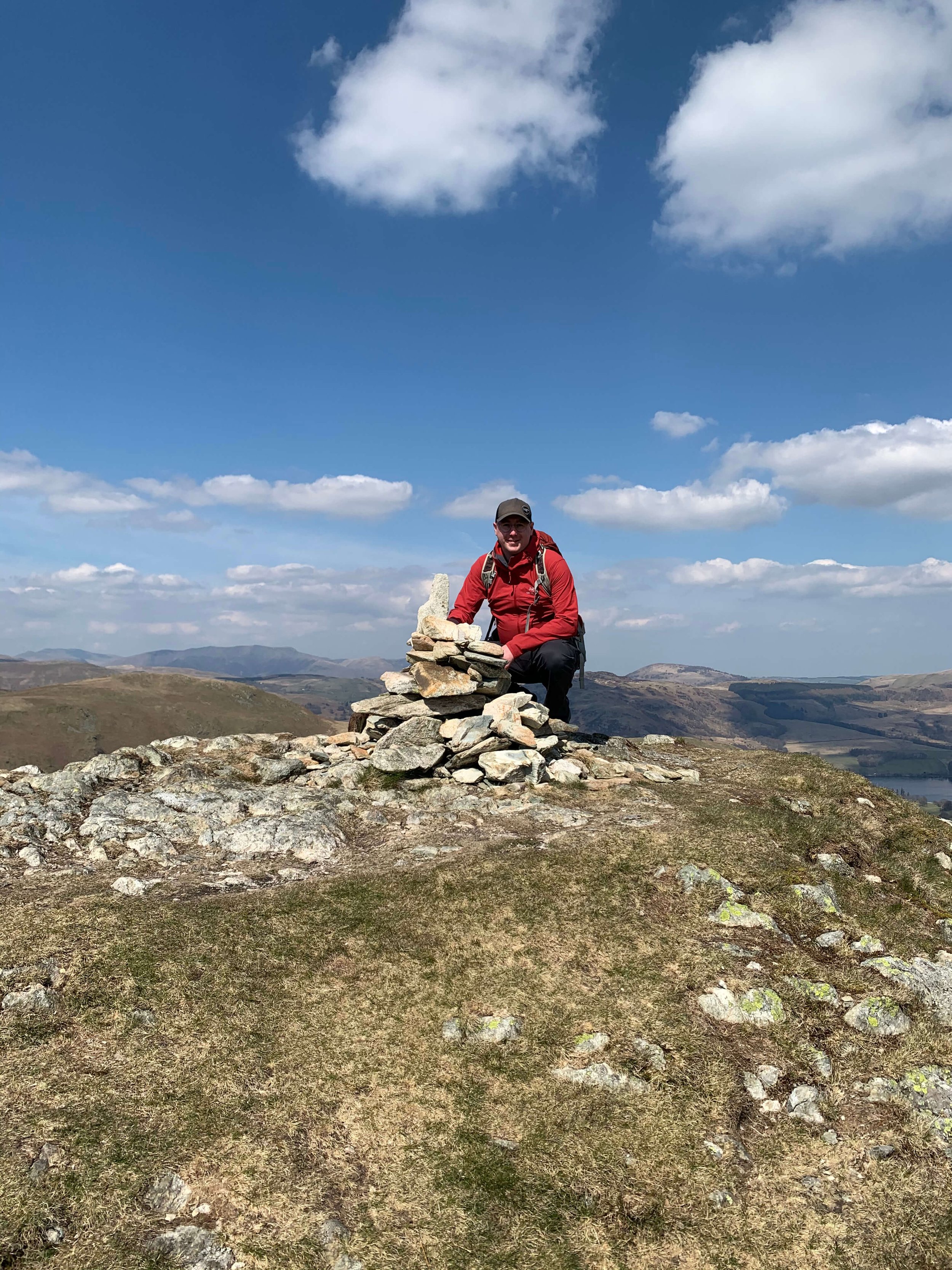
There is a false summit and Cairn at Low Brock Crags which offers some exceptional views across the Lake District Fells. Don’t be fooled though, I have seen people reach this cairn and then begin their decent as if the goal had been achieved.
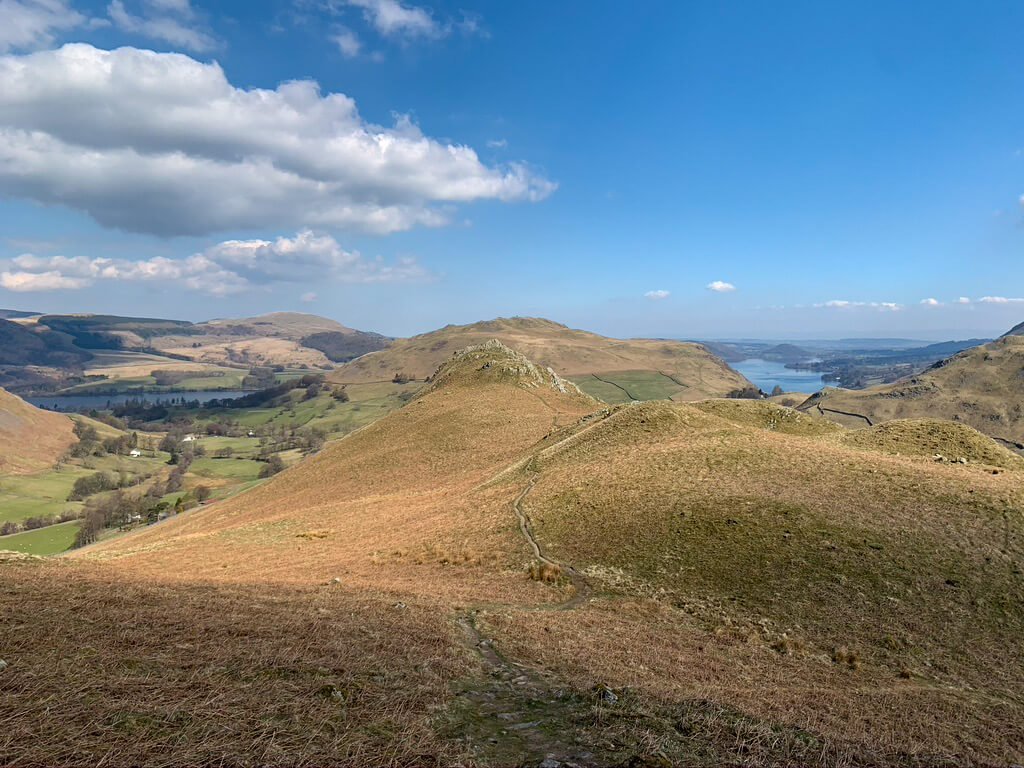
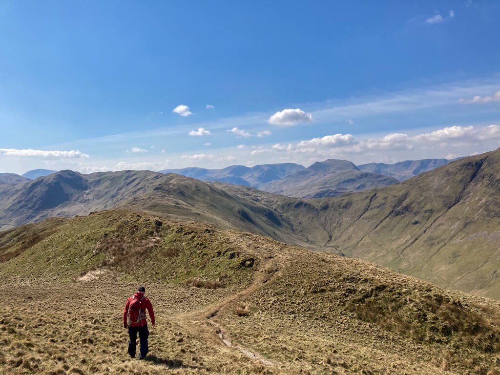
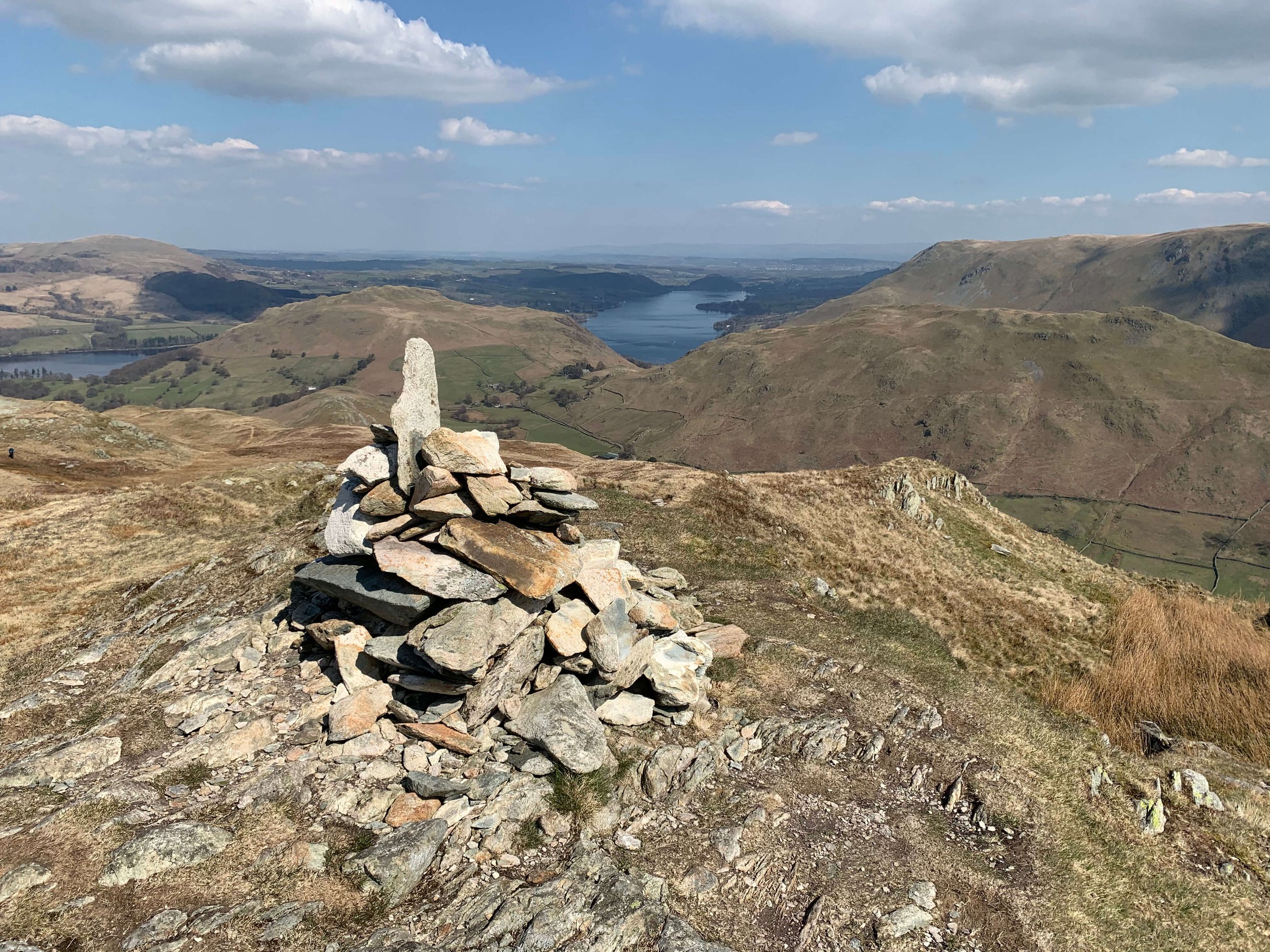
As you climb higher, you'll find yourself immersed in a landscape of rolling fells, heather-clad slopes, and huge valleys. Beda Fell offers a relatively quiet and less crowded experience compared to some of the more popular peaks in the Lake District, allowing you to truly connect with nature and enjoy moments of solitude. One of the highlights of the Beda Fell walking route is the breathtaking views that unfold as you reach higher ground. From the summit, you'll be rewarded with panoramic vistas of the surrounding fells, including the iconic Helvellyn range, Place Fell, and the shimmering expanse of Ullswater. On a clear day, the views stretch as far as the eye can see, providing ample opportunities to capture stunning photographs
Looking across to Place Fell from the summit of Beda Fell

View back to Ullswater from Beda Fell.
From the summit, you can retrace your steps back down to Martindale however this route leads you on a decent through the Bannerdale valley. I like taking this decent as it offers the opportunity for some wildlife viewing near the Nab which. is home to many deer.

Leaving the summit of Beda Fell you should continue along the path towards Beda Fell Knotts where a left turn will take you on a path down into the valley. The path hugs the side of Beda Fell as you descend towards Dale Head, the meeting point for Bannerdale Beck and Rampsgill Beck. It is here where looking towards The Nab across the farmland you have the opportunity to spot deer within the conservation area.
Sadly, the final part of this walk is fairly mundane road walking although it is banked by fells on either side. The road, leads past the local farms until you again return to the Church at Martindale.
BEDA FELL GALLERY








TOP TIPS FOR WALKING BEDA FELL
Set off early at peak times. During weekends, evenings and holiday periods Martindale and Howtown are popular so plan accordingly. With this in mind if you arrive in Howtown or Martindale and find there is no parking don’t be that person who blocks the road by parking in a passing place!
Completing Beda Fell as a circular walk allows you to take in the conservation area, however, if time is of the essence Beda Fell can be completed as a quick point-to-point walk.
Come prepared, unlike busier Kewick, there is little in Martindale so you will be unable to purchase last minute supplies.
Thanks for reading this post. If this post provided value for you then you can support me in making future content by using the link below to Buymeacoffee.
Alternatively, you can use the tip jar:https://paypal.me/sjburgess87?locale
MORE FROM THE FAR EASTERN FELLS
Angletarn Pikes | Wainwrights Far Eastern Fells
ANGLETARN PIKES
Angletarn Pikes is a captivating fell, known for its distinctive twin peaks and the picturesque Angle Tarn nestled between them. The ascent to Angletarn Pikes is moderately challenging, making it accessible for most hikers while still offering a sense of accomplishment. The route typically starts from Patterdale, winding through lush valleys and ascending gradually to the tarn. Once you reach Angle Tarn, the landscape unfolds with stunning beauty—a tranquil body of water surrounded by rugged peaks. From there, a climb to the summit reveals panoramic views of the surrounding fells and valleys, making the effort well worth it. The twin peaks provide unique vantage points, each offering different perspectives of the Lake District. Angletarn Pikes embodies the essence of fell walking in the Far Eastern Fells, combining natural beauty with a rewarding hiking experience. It's a must-visit for anyone looking to explore Wainwright's routes in the Lake District.
ANGLETARN PIKES INFORMATION
HEIGHT IN METRES 567m
HEIGHT IN FEET 1860ft
RANGE Far Eastern Fells
GRID REFERENCE NY 413148
Have you walked Angletarn Pikes? Let me know what you thought of the views below.
ANGLETARN GALLERY
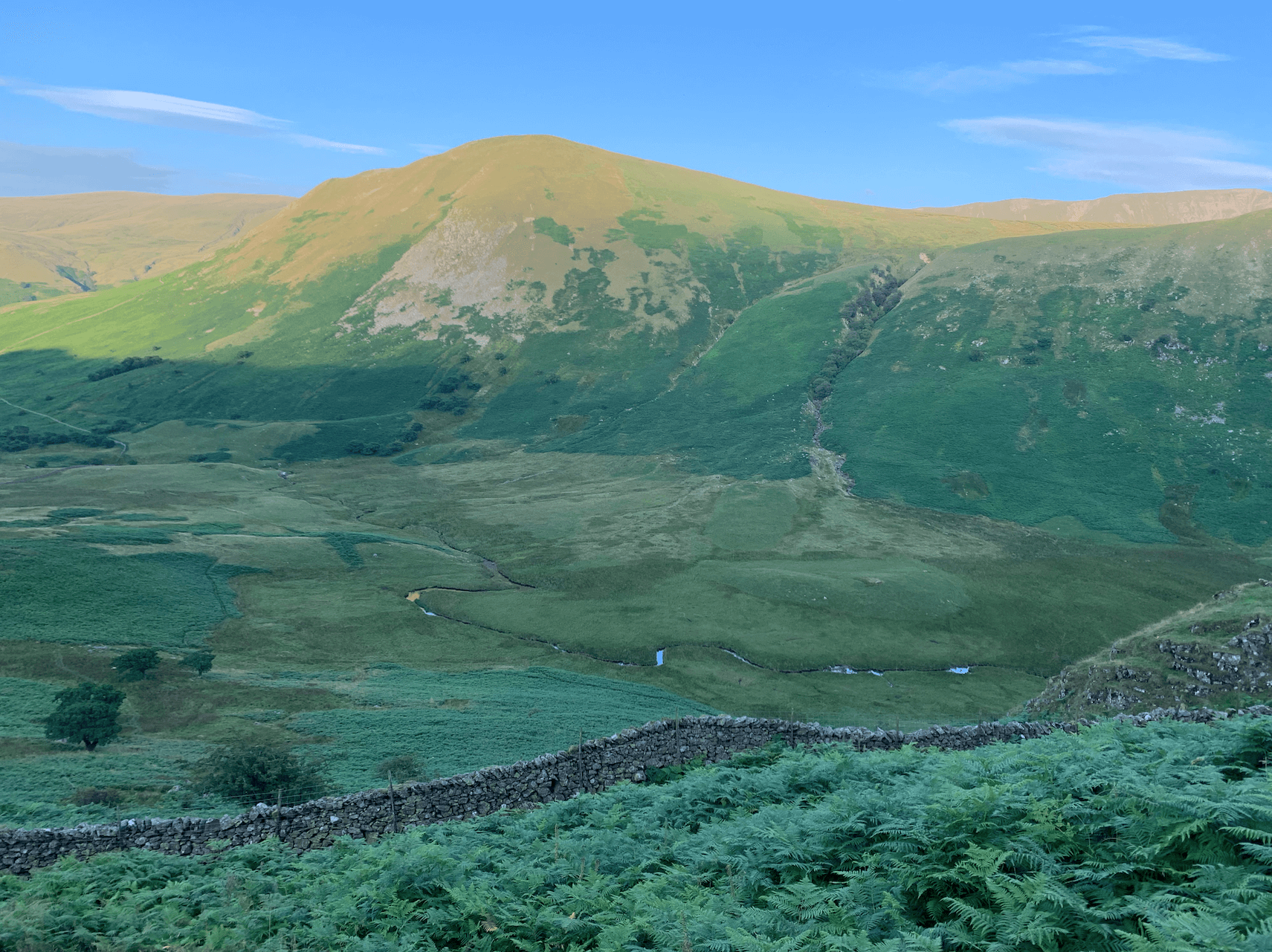


ANGLETARN PIKES RELATED POSTS
WAINWRIGHT’S GUIDES

ANGLETARN PIKES MAP
Troutbeck Tongue | Wainwrights Far Eastern Fells
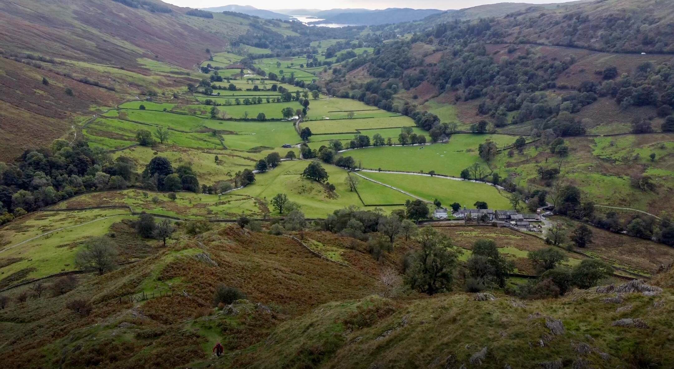
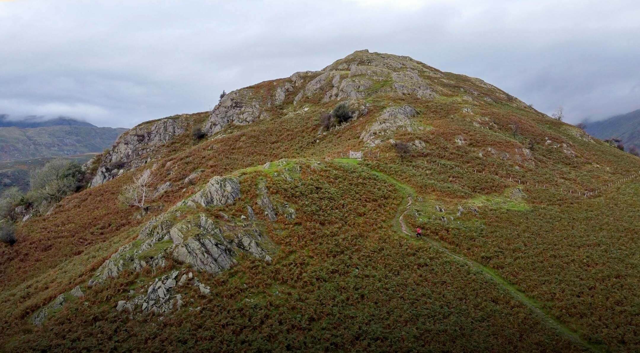
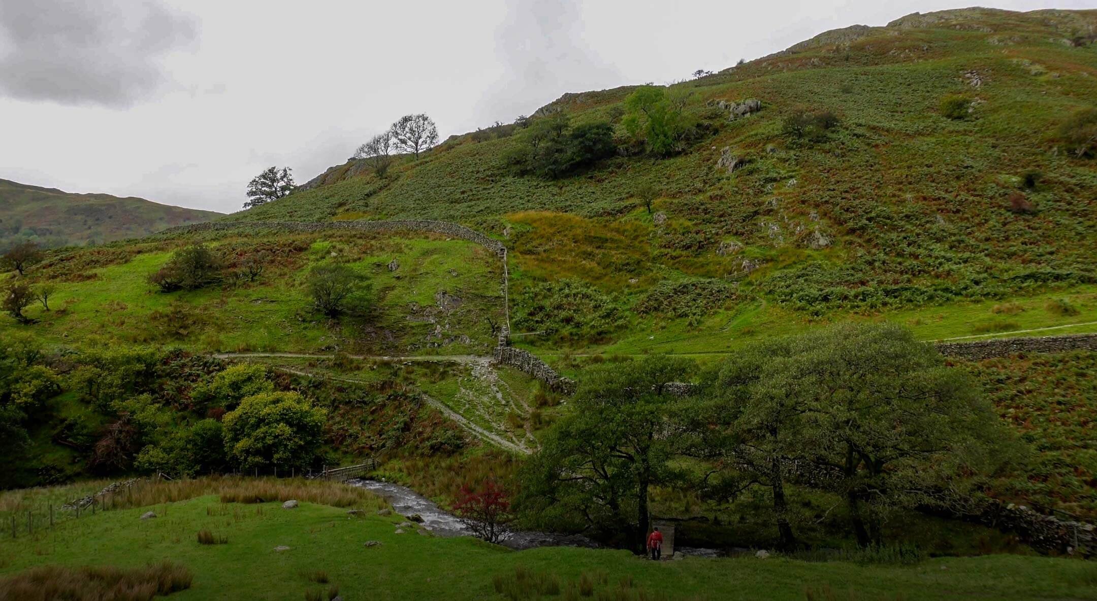
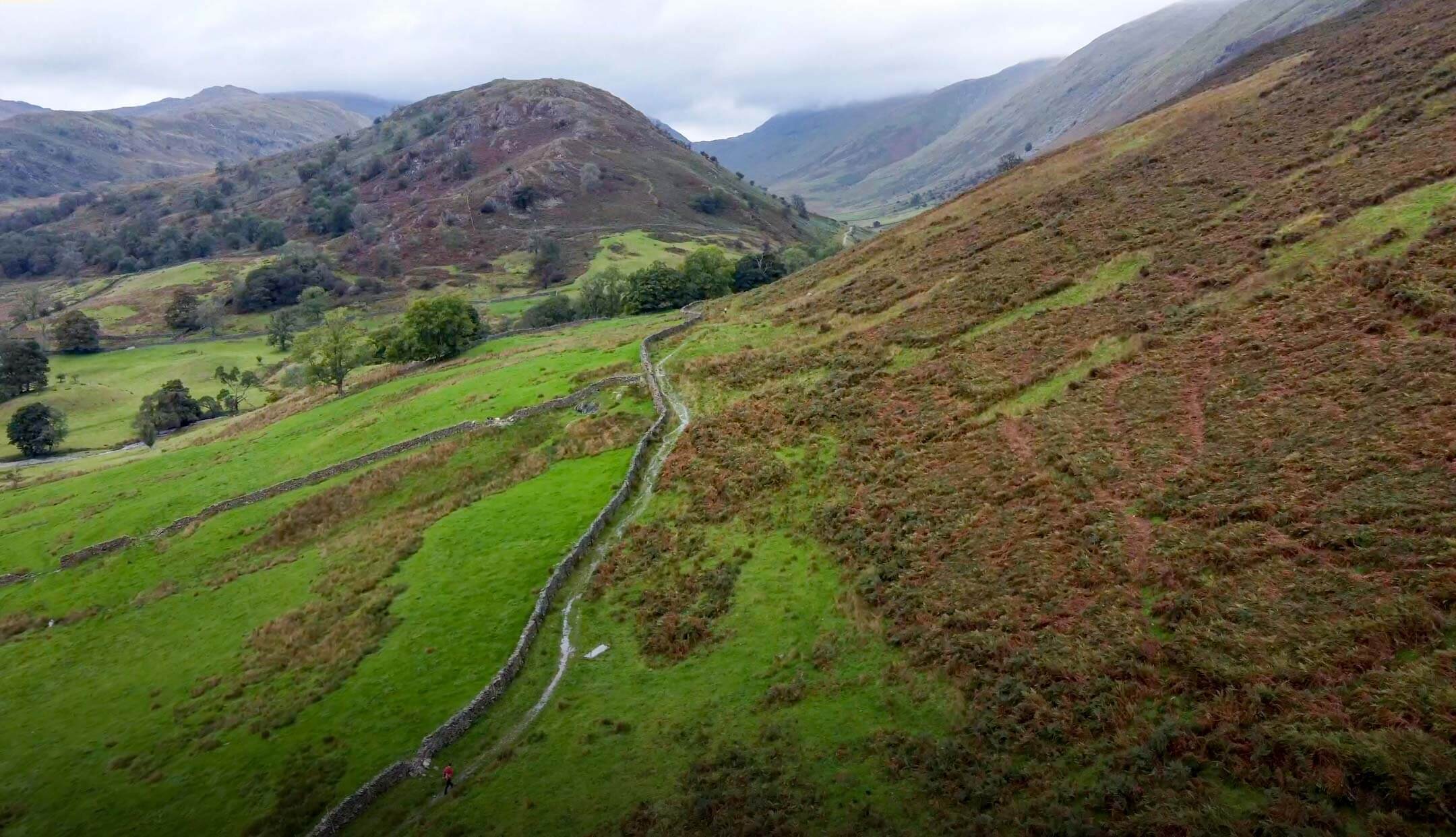
It would be fairly easy for Troutbeck Tongue to go unnoticed. Set in the Troutbeck valley surrounded by larger fells part of the appeal of Troutbeck Tongue is its anonymity. One of many Tongues in Lakeland, Troutbeck Tongue is a wedge of sharply rising ground shouldered by a beck that runs along its base. Raising from the valley floor at Dalehead, Troutbeck Tongue is modest in size but with views back towards Windermere and the lakes it should not be overlooked. Whether gazing at Troutbeck Tongue from the nearby Kirkstone Pass or undertaking the mellow walk, Troutbeck Tongue is sure not to disappoint. Accessible from the village of Troutbeck or via longer walks from nearby Ambleside or Windermere there are plenty of options for Troutbeck Tongue walks.
TROUTBECK TONGUE INFORMATION
HEIGHT IN METRES 364m
HEIGHT IN FEET 1194ft
RANGE Far Eastern Fells
GRID REFERENCE NY 422064
TROUTBECK TONGUE MAP AND ROUTE
Follow my Troutbeck Tongue route here using OS Maps.
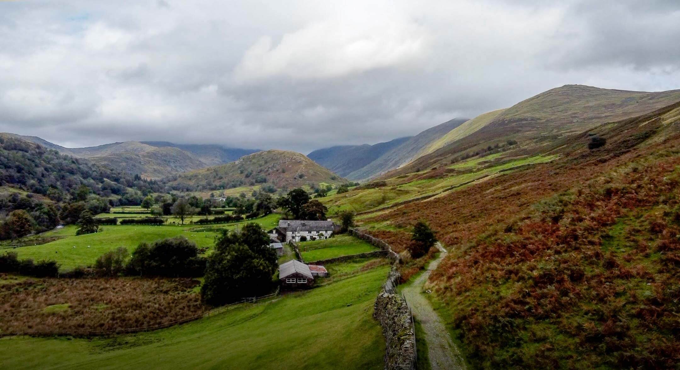
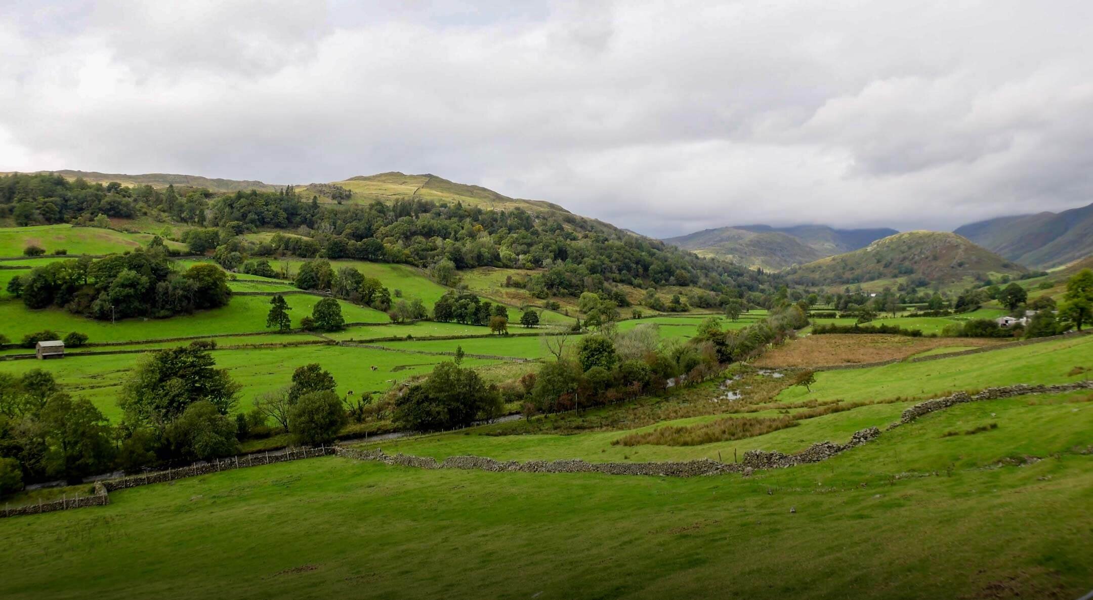
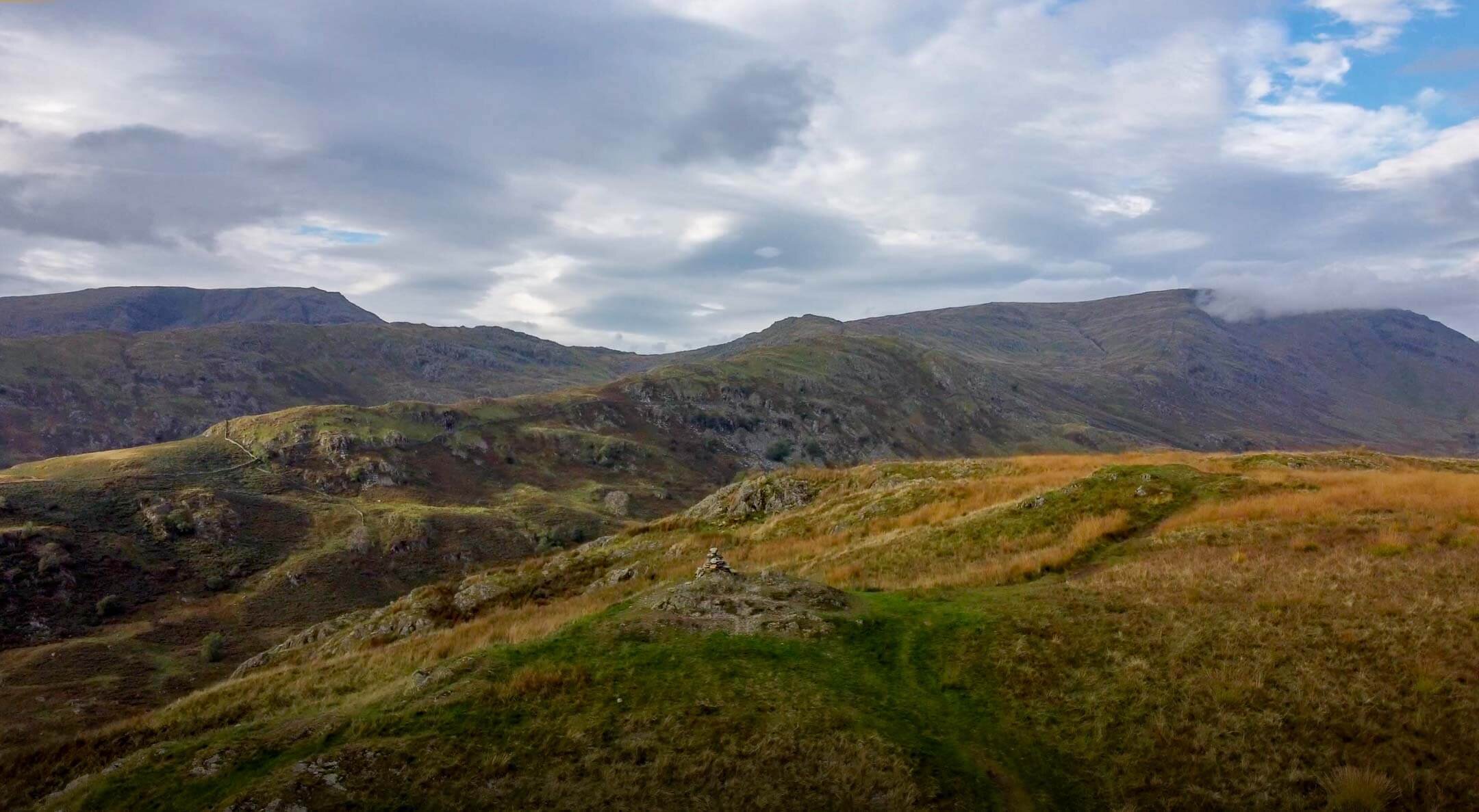
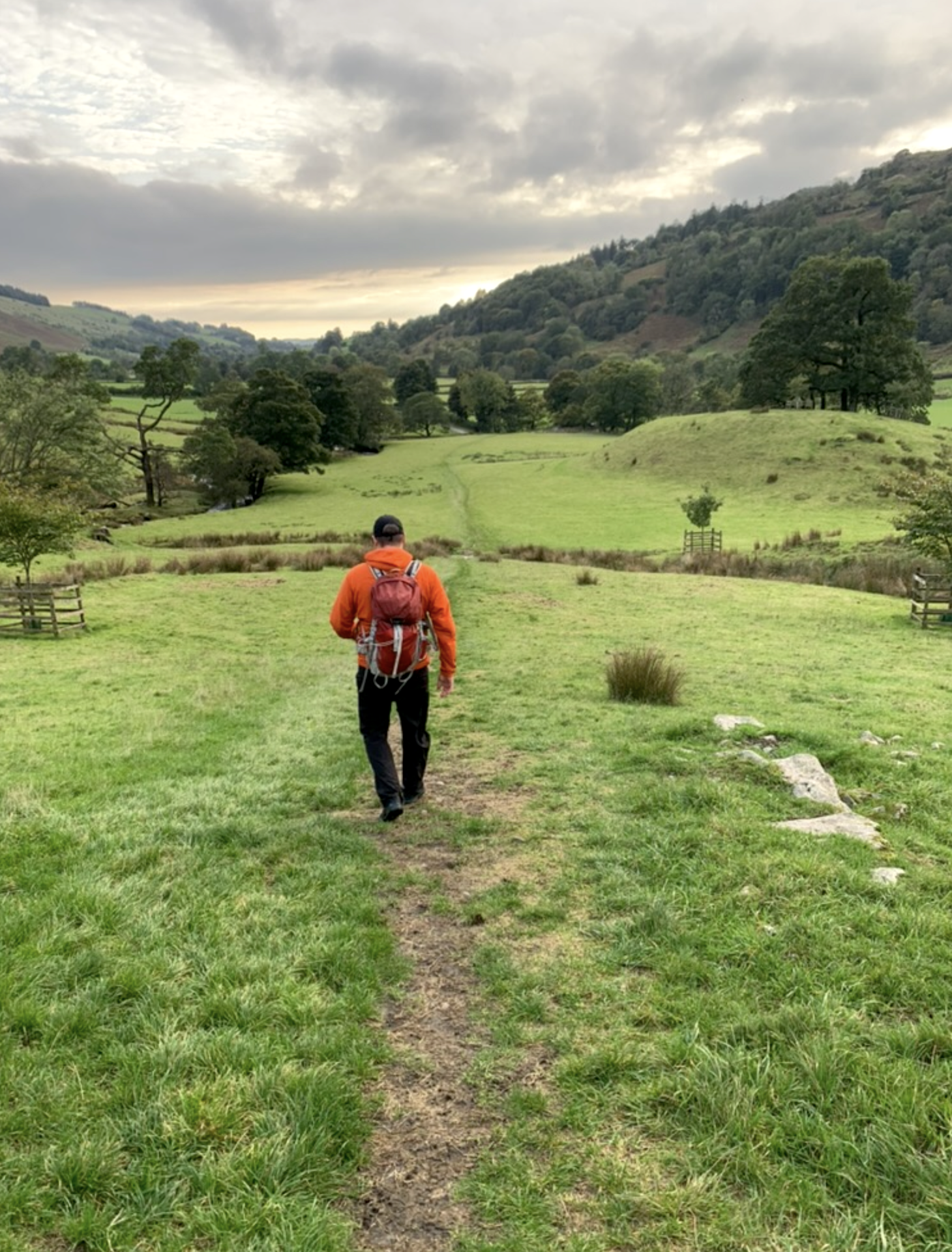
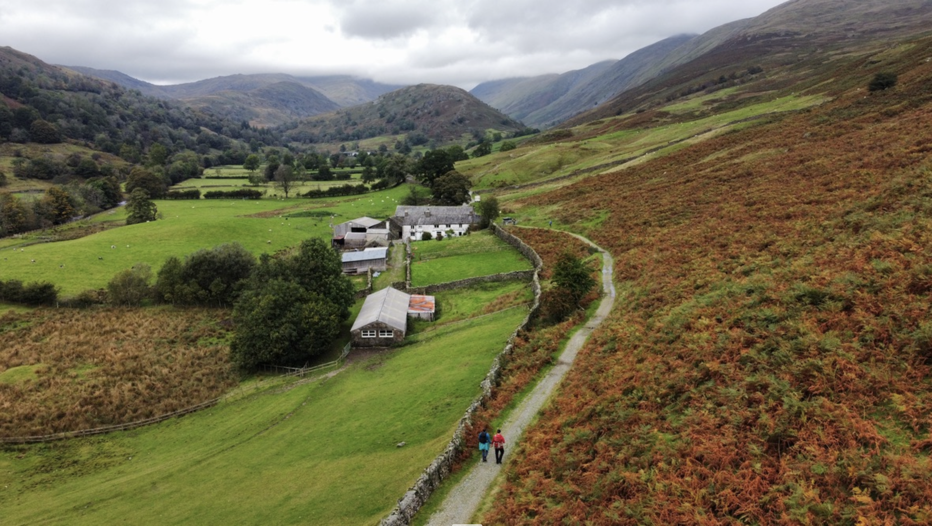
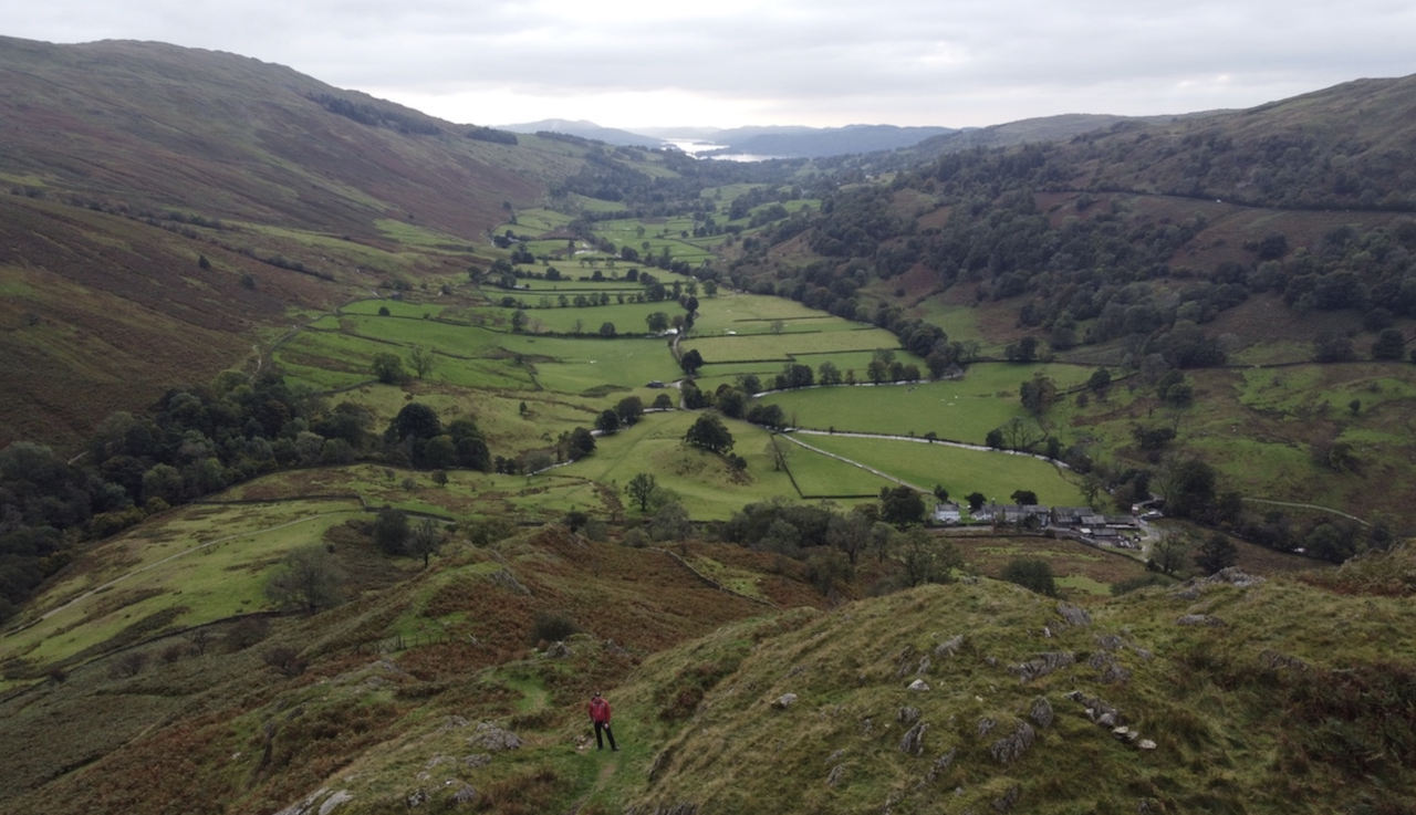
My route starts on the road next to Jesus Church where roadside parking is available. From here, you head through the nearby holiday village until you reach the footpath that heads through the valley until you reach a stream crossing near the base of Troutbeck Tongue. From here, it is a short sharp walk up Troutbeck Tongue until you reach the summit. From the summit you can choose to walk over the fell and down the otherside, however I opted to head back down the same way. I then opted for another path back to the car, you can follow my route here.
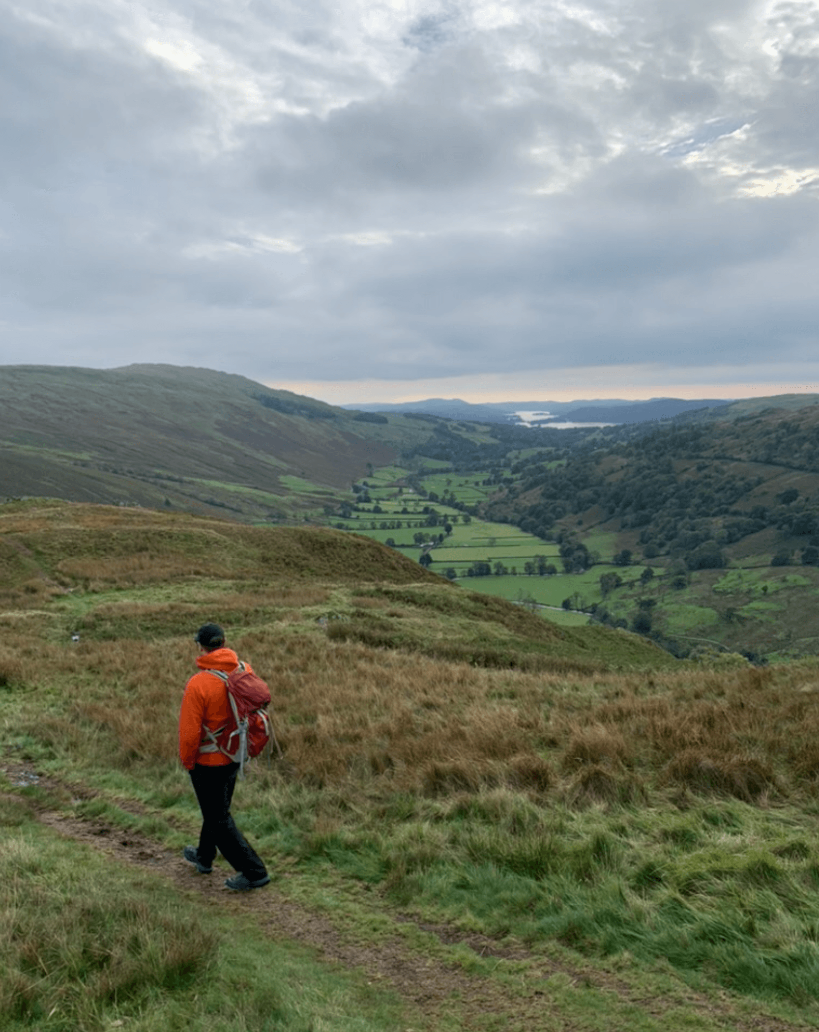
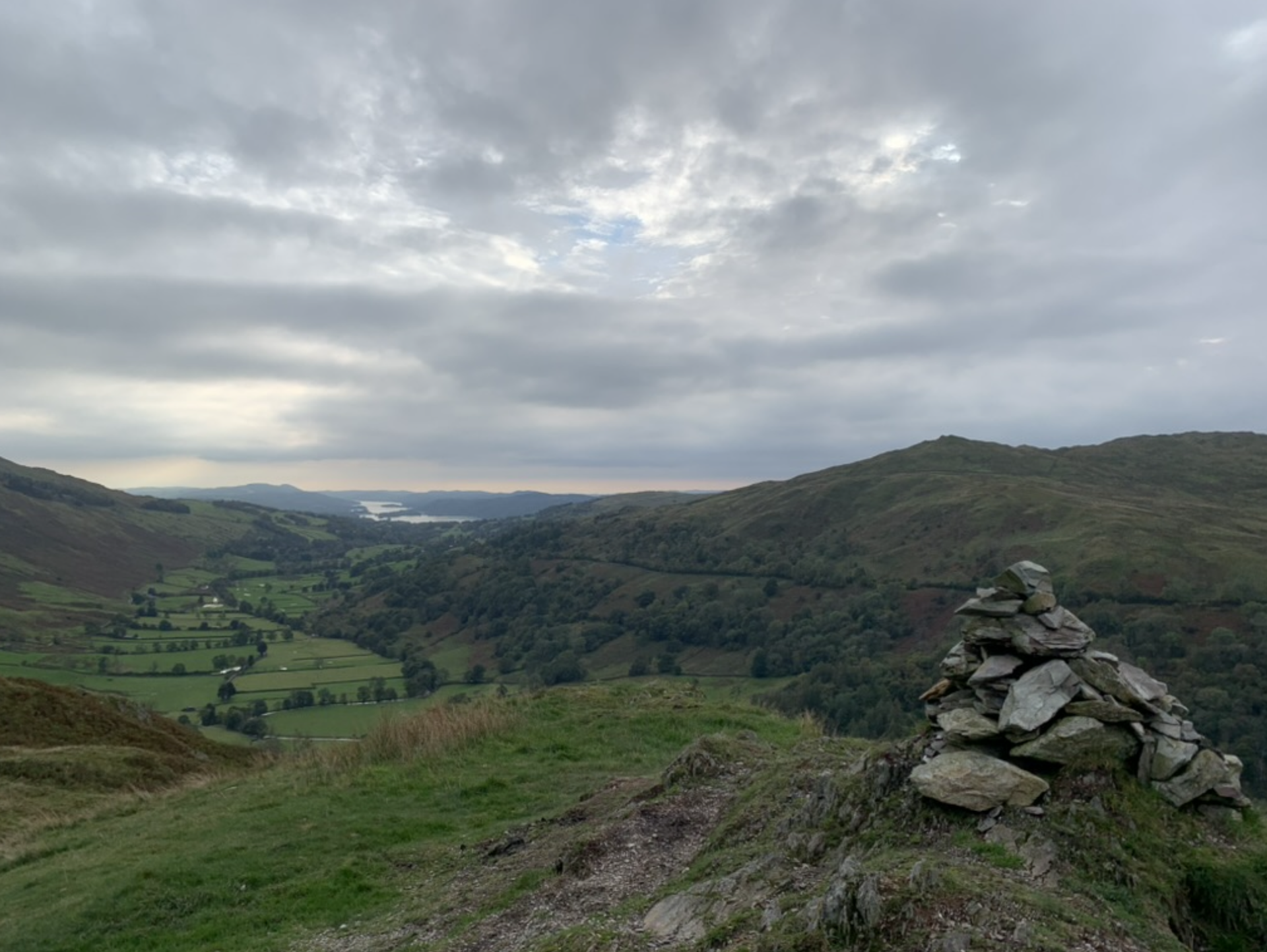
TROUTBECK TONGUE GALLERY
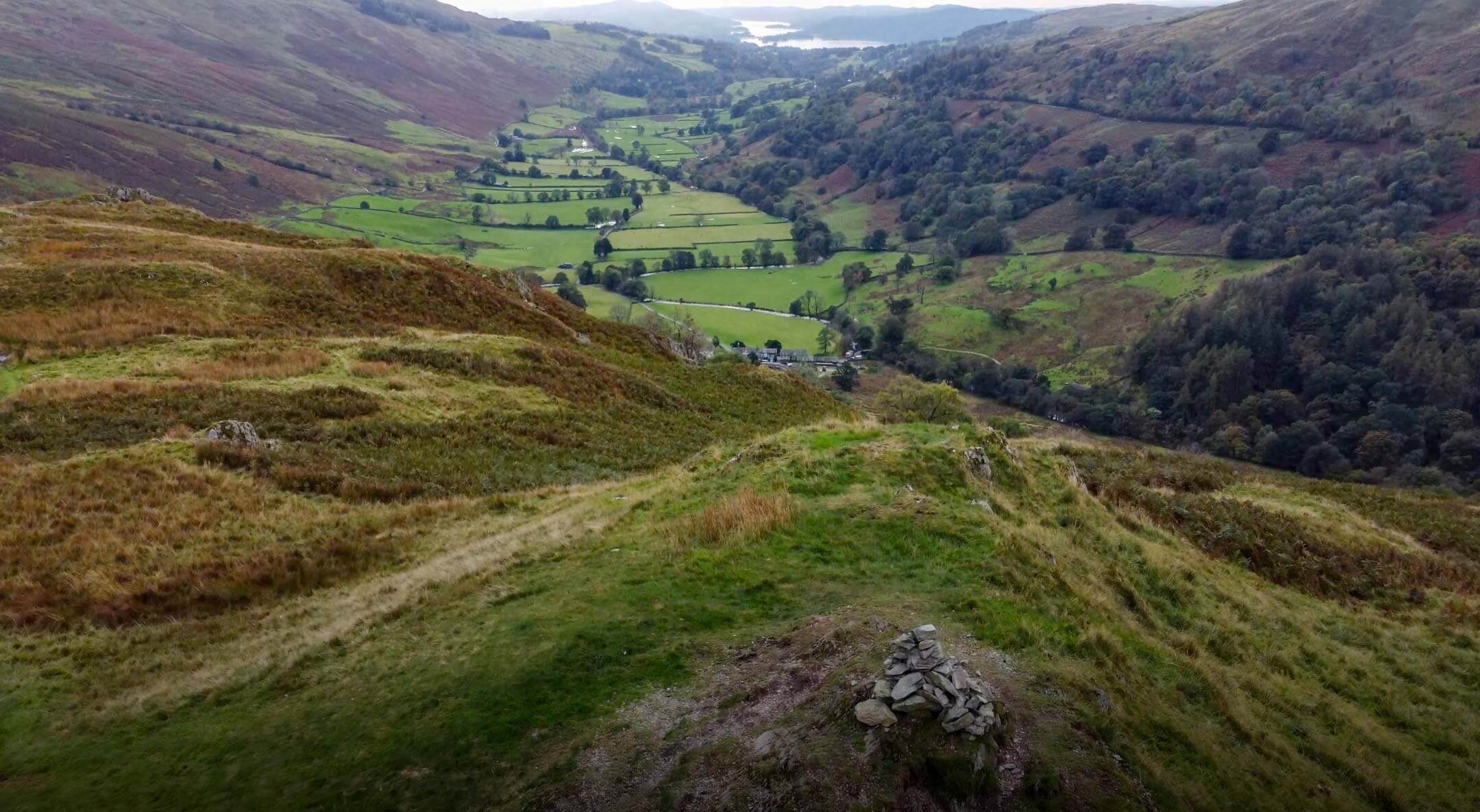
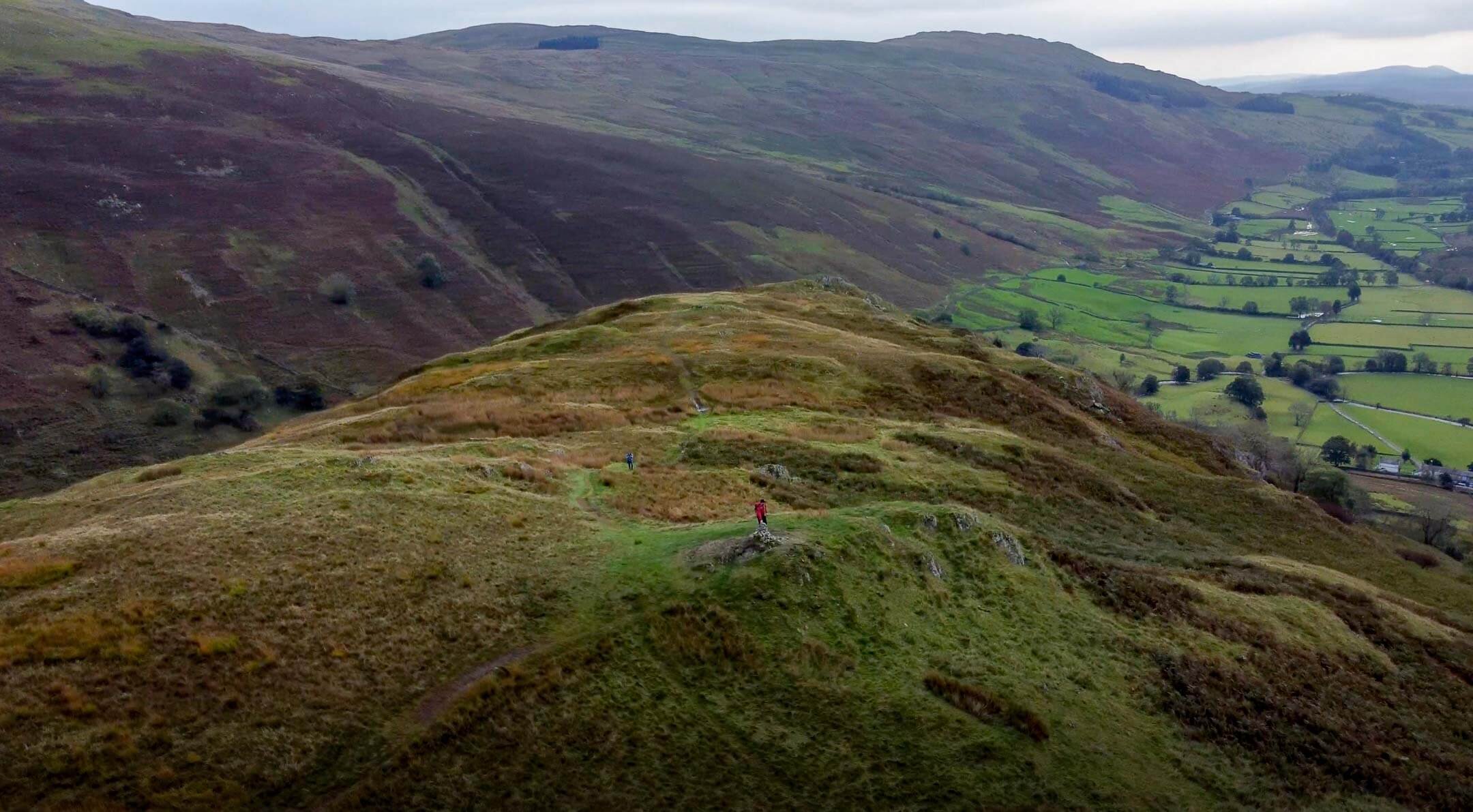
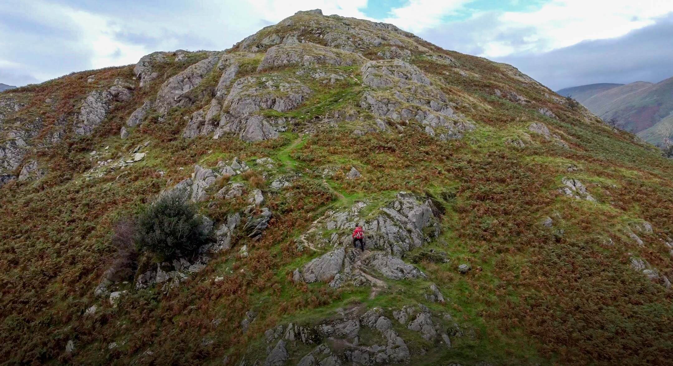
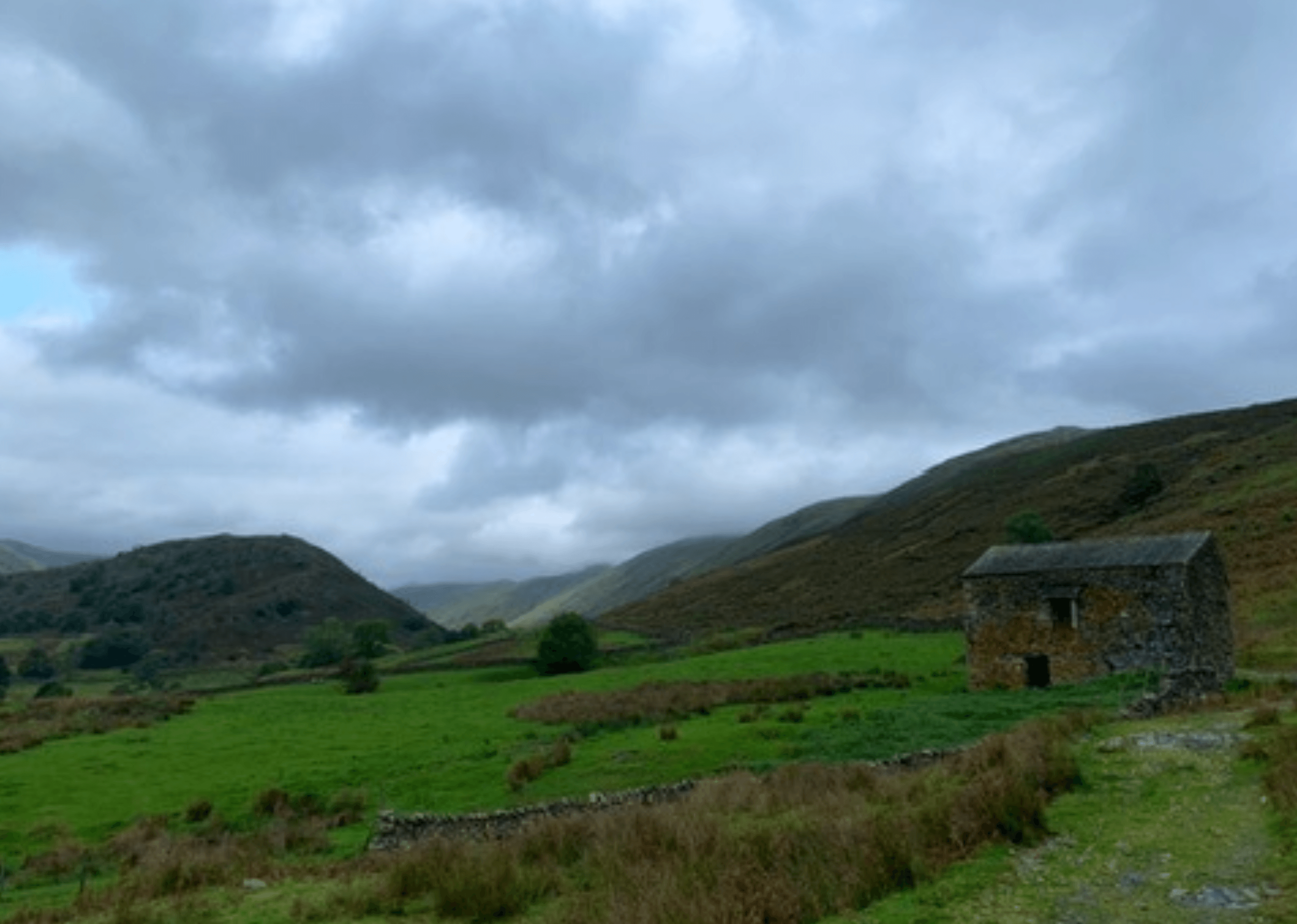
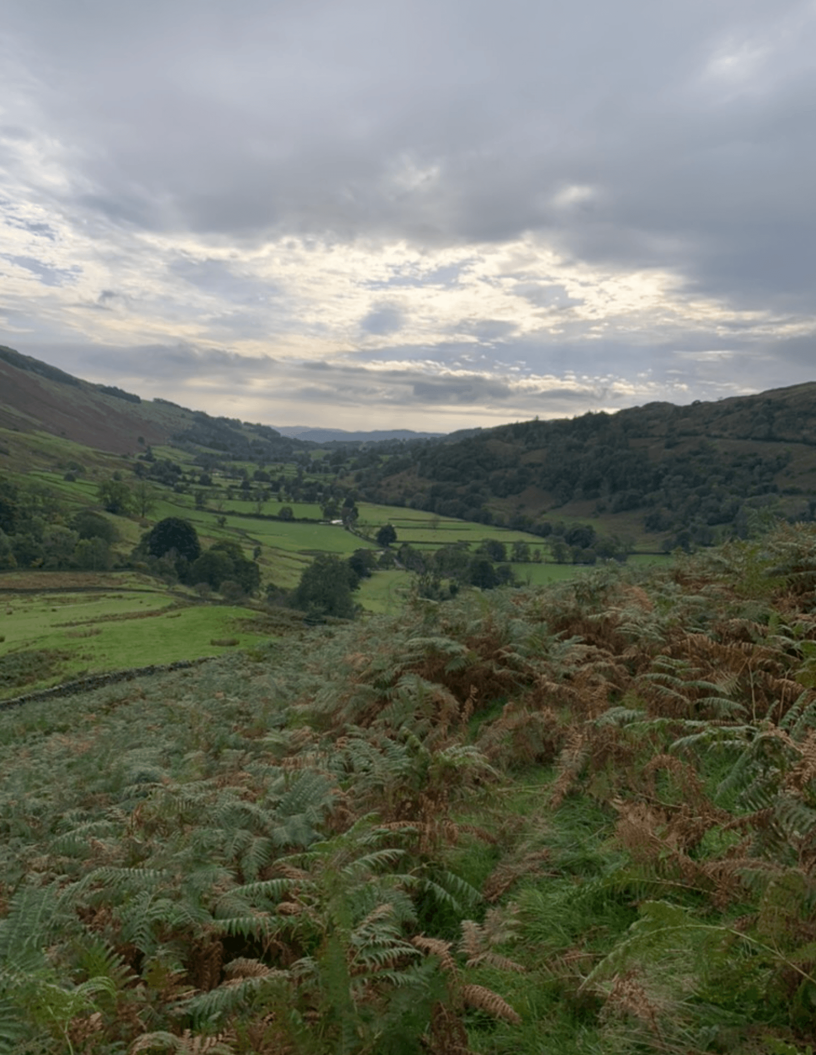
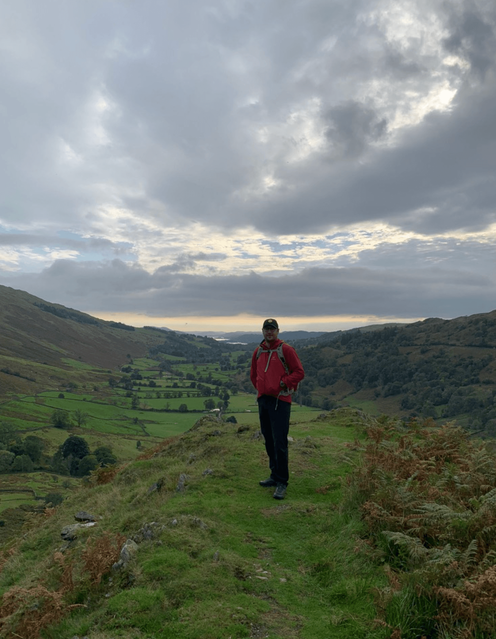
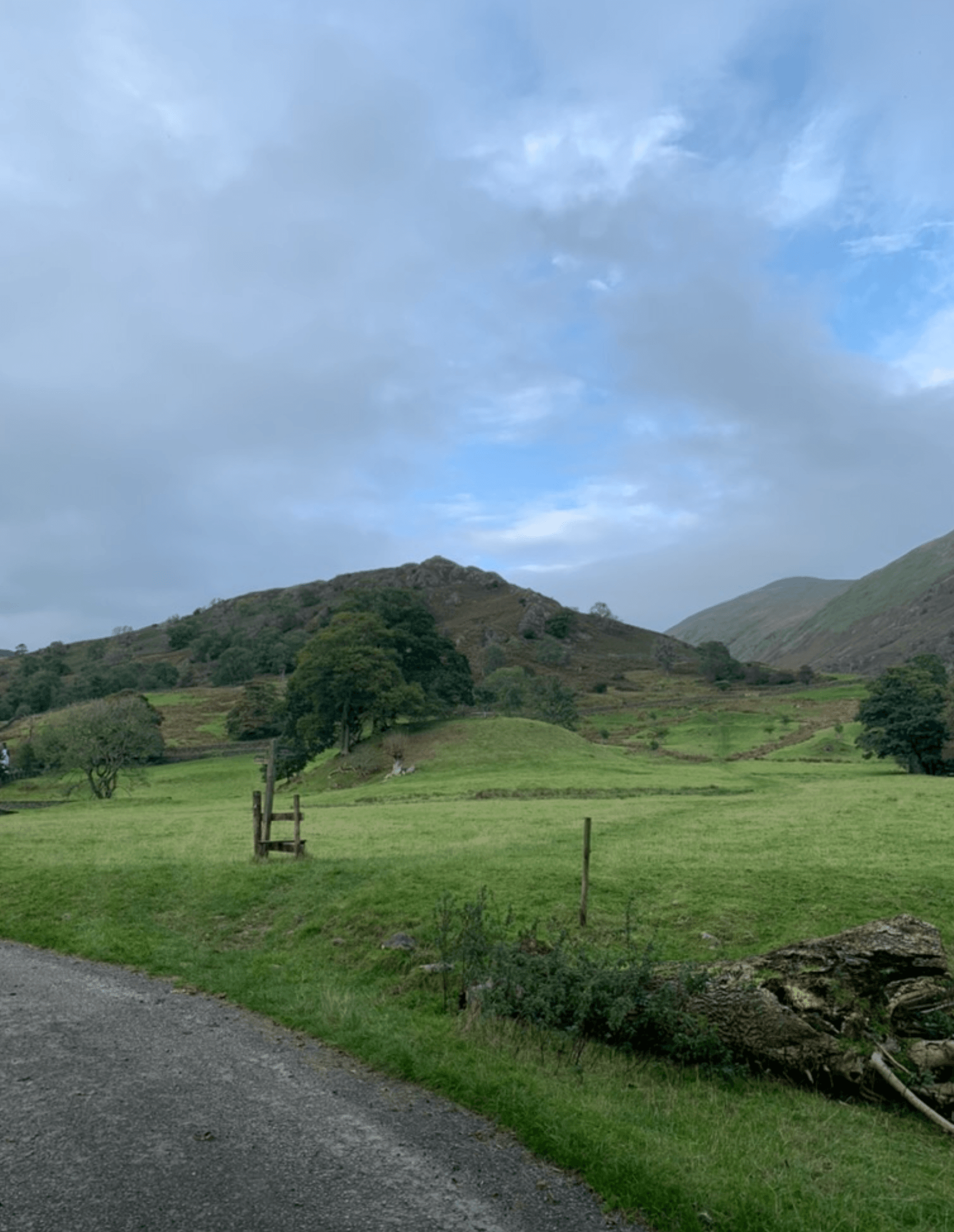
FIND ACCOMMODATION NEARBY
TROUTBECK TONGUE RELATED POSTS


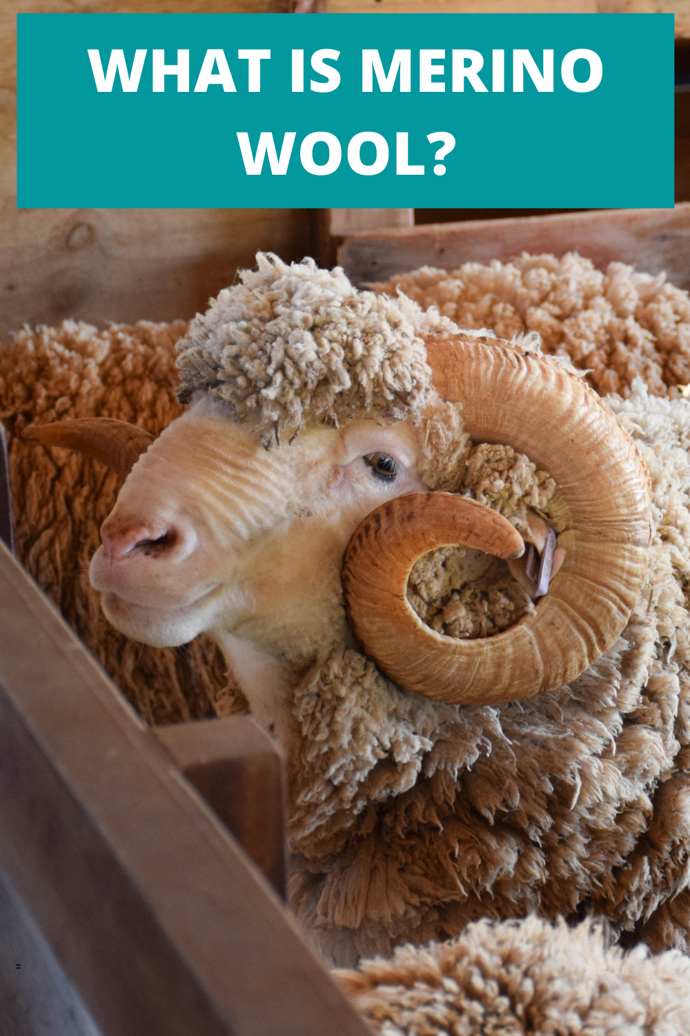
What Is Merino Wool? And Should You Use It?
Finding the appropriate material for your outdoor clothing is really important. The use of cotton in high output activities has been thought of as archaic for a while now. Cotton holds moisture and odour meaning you can feel wet and smelly pretty soon into a hike. Another option has been synthetic clothing that has improved the wicking performance of garments but odour has still be an issue. Step in Merino wool. Merino wool garments can offer exceptional performance in the mountains and below I outline why.
WHAT IS MERINO WOOL?
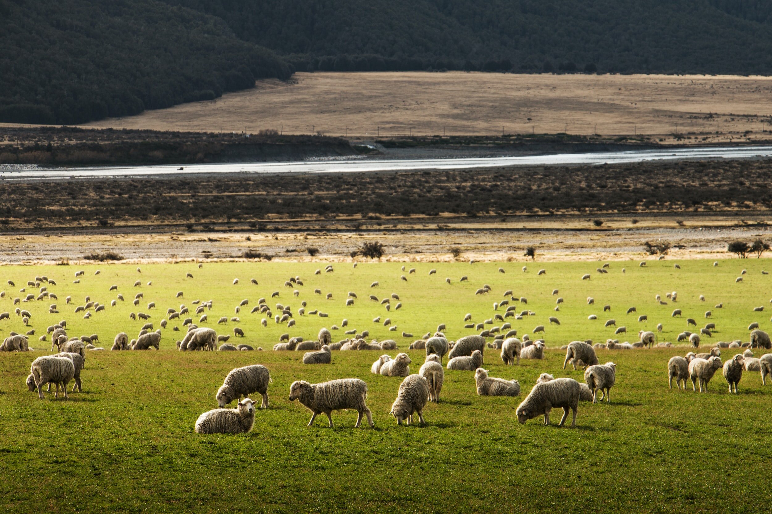
Merino Wool is a natural fibre that is grown on Merino sheep from New Zealand and Australia. Merino fibre benefits from being incredibly fine, making it softer than other types of wool. What makes Merino sheep, and in essence their wool, special is their ability to live in varying temperatures. Merino sheep are used to dealing with fluctuations from -20ºC upwards of 30ºC. This makes Merino a versatile material to use in the construction of outdoor garments as they can be utilised in many different environments.
WHY USE MERINO WOOL CLOTHES?
Do you enjoy getting outside? Do you like to get outside regardless of the weather? Do you take part in a range of winter and summer sports? Well if that sounds like you then merino could be the material you are looking for, as Merino wool lends itself to every adventure in every season. Naturally regulating your body temperature and wicking pesky moisture away from your skin, you can feel comfortable in Merino wool clothing from the first minute to the last. Even better, Merino wool is naturally odour resistant! Yes, you will sweat but smell less! Finally, and not to be forgotten, Merino wool is soft and incredibly comfortable against the skin.
ADVANTAGES OF MERINO WOOL
RENEWABLE
Merino wool is a natural fibre grown on sheep so it is also renewable. Merino sheep can group up to five lbs of wool per year and what’s even better? Merino sheep have lived in harsh environments and their wool is well naturally adapted to handle these climates.
Comparing Merino to synthetic or cotton equivalents shows that these alternatives need large amounts of processing before they are used in garments. Merino is a natural fibre and as such has less impact on the environment.
MERINO WOOL ODOUR RESISTANCE
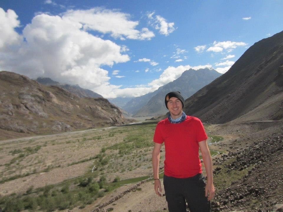
A massive selling point for me is the odour resistance of Merino wool. I first came across Merino wool before a trekking trip in India, where I wanted to only pack a finite amount of clothing. Taking two t-shirts for a one month trip may seem daunting to many, especially in a hot country like India, but it worked a treat. Merino garments are capable of absorbing odour, preventing them from developing into that awful post-hike stench.
Dubious at first, years later I am still amazed at how Merino clothing remains odour resistant for way longer than synthetic equivalents.
TEMPERATURE REGULATION
Merino sheep need to survive in both hot and cold temperatures, meaning their wool is well adapted to both situations. A Merino garment will trap air for insulation in the cold but when it’s hot wick moisture away from the skin. This prevents that awful feeling when a cotton t-shirt gets wet due to excess sweat. A Merino t-shirt moves this moisture away from the skin and releases it as vapour. Synthetic fabrics also wick moisture away from the skin but they require an extra stage to do so, this can mean that synthetic garments are not as effective in cold climates.
MAKE A MERINO LAYERING SYSTEM
Layering systems are great for ensuring that you are just the right temperature at all stages of an activity. With the success of merino companies like Icebreaker and Smartwool more Merino clothing is finding its way into the market. What is great is now these companies are not just focused on base layers but full outfits. Layering a Merino jumper and jacket over a Merino t-shirt ensures that vapour can be wicked away efficiently.
MERINO WOOL IS COMFORTABLE
One reason many people avoid wool clothing is that they say it is itchy or uncomfortable. Well, Merino could just be the answer here as well. Merino wool is much finer than other wools meaning it is softer against the skin. In my experience, Merino doesn’t itch and I regularly use Merino t-shirts, hoodies and socks.
MERINO IS BIODEGRADABLE
It has already been mentioned the Merino has renewable qualities… well here is another reason that Merino is great for the environment. Being a natural fibre, Merino will decompose when put in a landfill. This means you can dispose of any old Merino garments without worrying about the future impact on the environment.

MERINO OFFERS UV PROTECTION
Those Merino sheep really have done all the hard work for us. Another benefit of Merino sheep’s evolution whilst living in hot temperatures is that Merino wool offers a natural UV barrier. This barrier to UV radiation protects the skin meaning you have less to worry about on those sunny days.
MERINO WOOL WARMTH TO WEIGHT
Merino wool offers an impressive warmth to weight ratio. Similar to down, Merino traps air between its fibres which helps create warmth. Merino’s natural loft ensures that it offers a very efficient temperature regulation.
MERINO WOOL IS STRONGER THAN COTTON
Merino wool fibres are stronger than cotton fibres. That’s right not only does your Merino t-shirt benefit from all of the above but it also is more durable than cotton.
DISADVANTAGES OF MERINO
There aren’t many… but here we go.
MERINO WOOL IS EXPENSIVE
Merino garments are more expensive than their cotton or synthetic equivalents, in the same way that a Ferrari is more expensive than a Fiat. Luckily there are companies trying to make Merino more affordable, check out ISOBAA who regularly have offers on SportPursuit.
DURABILITY ISSUES
Merino comes in different grades and the lighter garments (180 or lower) can be subject to holes. With lighter Merino garments pay particular attention to how you wash them. Avoid using fabric softener and do not overwash as this can leads to holes forming in the material. Remember Merino garments require less washing as they are naturally odour resistant.
IS MERINO FOR YOU?
Merino isn’t going to be worth the investment for everyone and that is ok. If however, you are a regular in the outdoors and you want the best performance from your garments then you should consider buying Merino wool clothing. I use a lot of my Merino garments in both summer and winter making the outlay worth it for me. I still search for deals and you can always pick up items in the sale making Merino more affordable.
IS MERINO ETHICAL?
Ethical concerns are becoming more prevalent across society and the outdoor community is no exception. It is worth noting that if you choose your Merino wool provider carefully, they will have sustainability and care for their animals at the core of what they do.
Merino is a natural fibre that has evolved over years of Merino sheep living in the harshest environments. The benefits of Merino in the outdoors are substantial and the effect on the environment little. Merino is a natural resource, it grows on sheep! No sooner have farmers sheered their sheep than the next coat of Merino wool begins to develop. Furthermore, Merino’s biodegradable properties ensure its environmental impact is negligible when discarded.

QUESTIONS ABOUT MERINO WOOL
WHAT’S SO SPECIAL ABOUT MERINO?
Merino wool is an amazing natural material that has many benefits. From odour resistance to temperature regulation, Merino wool can be beneficial in a range of activities.
WHY IS MERINO WOOL CONSIDERED SOFT?
Merino wool has elastic properties that ensure the fibres can retain their shape over time. This is one of the reasons that Merino garments do not need to be ironed… just hang them after washing. This natural resistance to wrinkling ensures that the garment remains smooth and soft against the skin with no itchiness.
IS CASHMERE BETTER THAN MERINO WOOL?
Cashmere has a higher loft than Merino ensuring it is softer. Durability wise, Merino is stronger so makes a better fabric for use in the outdoors.
WHY IS MERINO WOOL EXPENSIVE?
There are a number of reasons why Merino wool garments are expensive. Firstly, wool is a natural product and therefore requires time to grow. The process of farming Merino sheep is one that costs time and money. So sadly that price needs to be passed onto the consumer. Merino is super fine and therefore more merino wool is needed to complete one item in comparison to other wool products. More wool means a higher cost.