Yoke, Ill Bell, & Froswick From Troutbeck | Lake District Walks
This circular walk from the village of Troutbeck encompasses three high fells that sit along a ridge with views to Windermere and the surrounding Far Eastern Fells. This near 10-mile route can be completed in either direction, however the route that I describe in this guide has the more mellow ascent so it is perhaps the easier way to complete the walk.

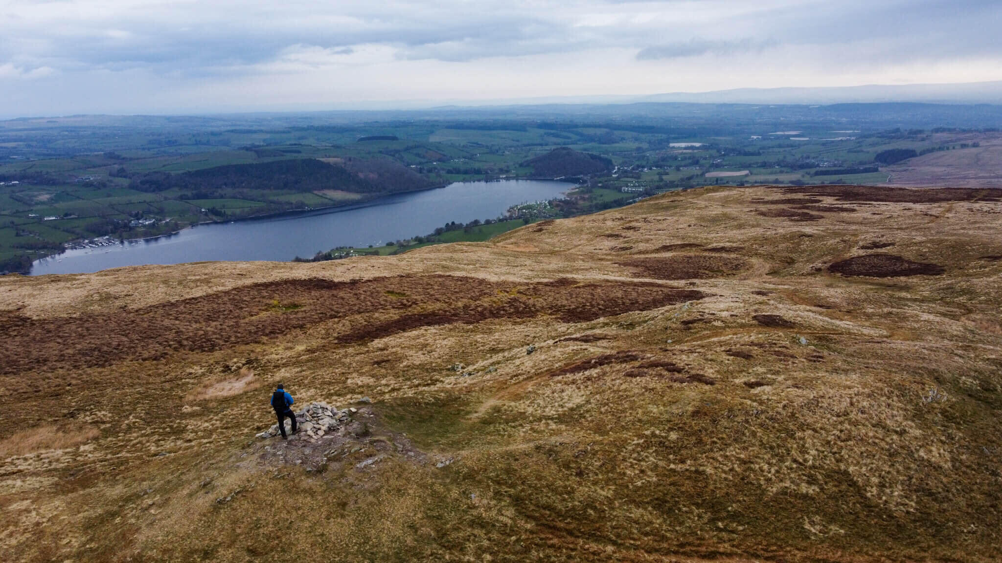
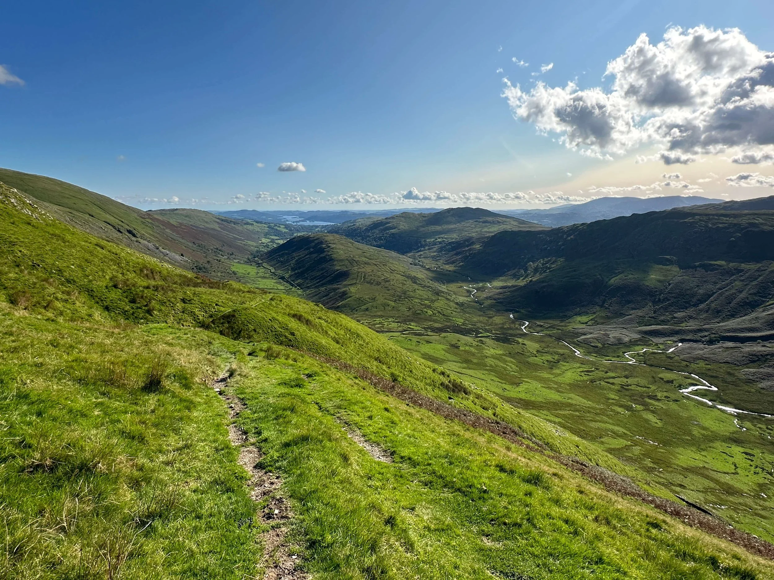
View Across To Yoke, Ill Bell, and Froswick along the ridge on the right
WATCH THE VIDEO
The benefit of this walk is that once upon the main ridge, the fell tops of Yoke, Ill Bell and Froswick all stand above 700m. Therefore each summit is able to provide a unique viewpoint to admire the surrounding fells and lakes with 360-degree panoramas. At 726m in height, Ill Bell is the highest point of this walk over 600m higher than the starting point of the village of Troutbeck. This walk ensures fantastic views of Lake Windermere, Kentmere Reservoir, Kentmere Pike, Shipman Knotts, Troutbeck Tongue, and Wansfell among many other points of interest.
My complete route is listed on OS Maps and can be seen HERE
WALK OVERVIEW
Start - Jesus Church, Troutbeck Village
This walk begins at Jesus Church in the Village of Troutbeck where free parking is available on the road, and via the turn nearest the bridge. There has been a church on this site for centuries with the current building being constructed in 1736. With such history, the church is worth exploring if the time allows.

View of Blencathra from outside the Church
Distance - 15.85km / 9.85 miles
Duration - 5-6hrs.
Difficulty - Moderate
Total Ascent - 803m
Map - You can find my full route here on Ordnance Surveys website

Yoke, Ill Bell, & Froswick Circular Walking Route From Troutbeck
STARTING YOUR YOKE, ILL BELL, & FROSWICK WALK
Leaving the church, head across the wooden footbridge walking away from the church. Shortly after the bridge, you will notice a bridleway on the opposite side of the road. This is the start of the Garburn Pass. The Garburn Pass is the path you will stay on all the way until you turn off near Yoke to start your ascent of the ridge.
FACILITIES
The village of Troutbeck is small and quiet with a few local facilities like pubs and places of interest. Jesus Church does have access to a toilet although whether this is open can be hit or miss, as it is really intended for the sole use of church occupants. Near to the church is Limefitt Holiday Park where you can use the toilet in the local pub.

View Towards Windermere From Yoke
WALKING ROUTE
The initial section of this walk runs along the Garburn Pass. The Garburn Pass is a well-maintained path that is popular with mountain bikers riding between Kentmere and Ambleside. The path itself was in good condition and made for fairly easy walking.
The walk along this path could easily be combined with Sour Howes and Sallows if you were looking to add extra miles to your walk. In the case of my route, I walked below Sour Howes and headed toward Buck Crag pictured below. It is here that you leave the Garburn Pass and head on your ascent towards Yoke.

Yoke as seen from the Garburn Pass
Upon leaving the Garburn Pass, the path becomes a little less even but still remains in good condition as seen below. The path winds its way towards the summit of Yoke. The walk to this point is fairly mellow and unchallenging, however, the final 100-200m ascent towards Yoke had me breathing a little heavier.

Walking Path Towards Yoke
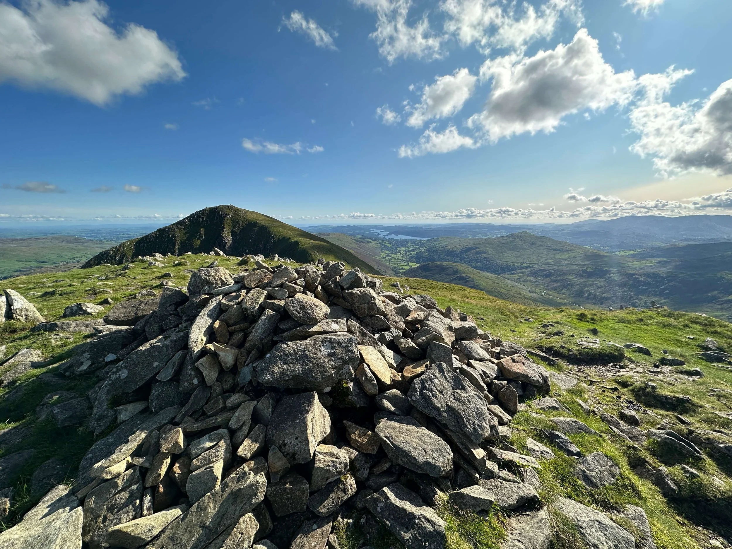
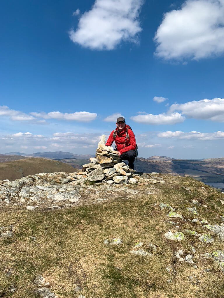
Upon reaching the summit of Yoke, you will find a Cairn ontop of a rocky outcrop. From here, looking forwards long the route you will see Ill Bell, the routes highest point. The summit of Yoke is 706m and is a sizeable achievement for many Lake District walkers.

Walking the ridge approaching High Rigg
Leaving Yoke towards Ill Bell, the path resembles a camel’s back and you will need to descend shortly before reascending to Ill Bell Summit. It is here where views of Kentmere Reservoir begin to show to the right of the path. Looking behind you views towards Windermere, Troutbeck Tongue, and Wansfell are prominent.

View Towards Ill Bell with Kentmere Reservoir In View
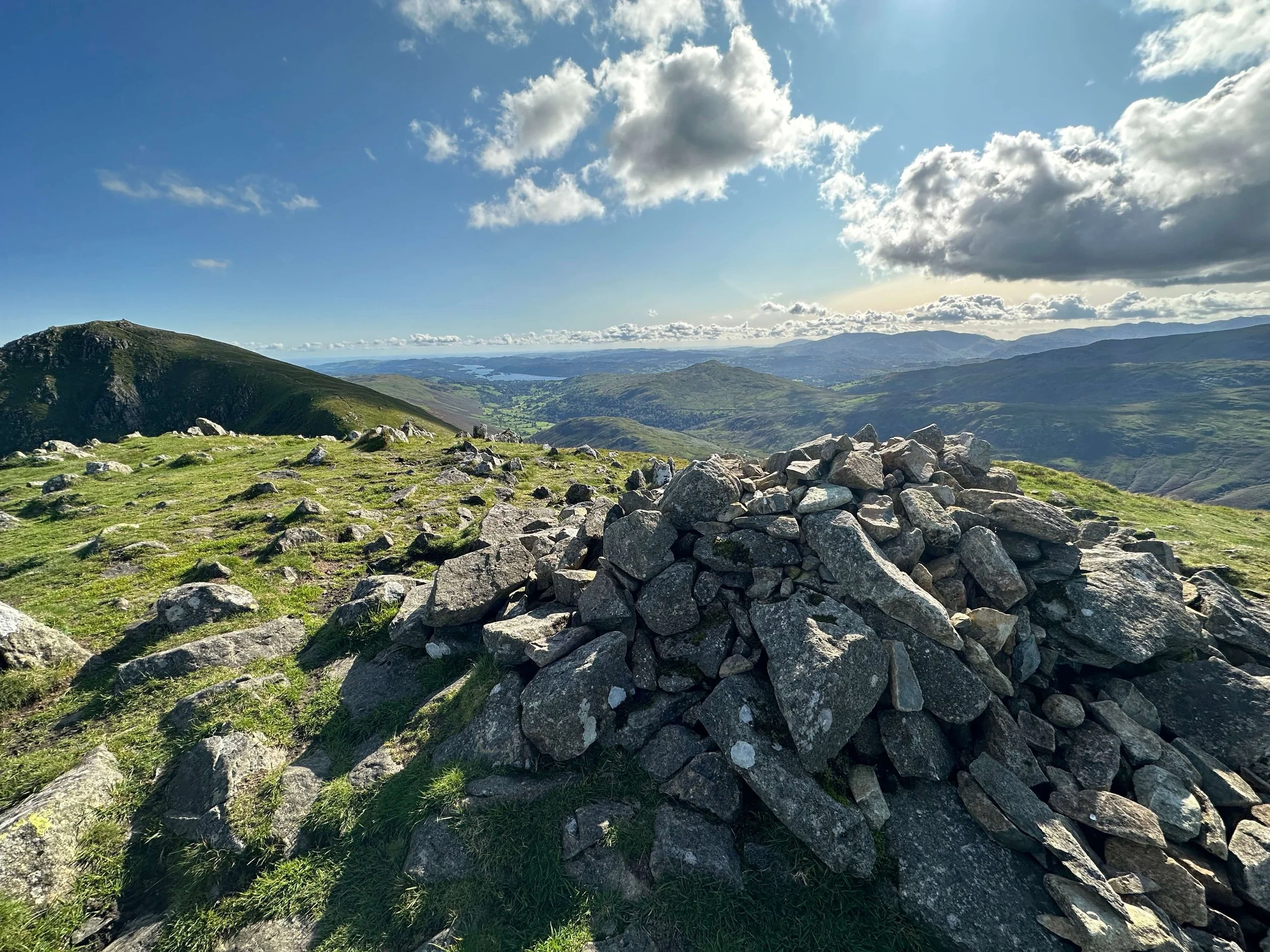
The summit of Ill Bell is marked by two large cairns and one smaller cairn. This distribution of these cairns made Ill Bell stand out as completely contrasting to the other Far Eastern Fells summits.

Ill Bell Summit
This unique fell top offered my favourite views of the walk with stunning views in all directions. The view pictured below looking back towards Yoke and Windermere goes some way to demonstrating how far you will have walked to reach this point.

View From Ill Bell Towards Yoke and Windermere
Next comes the most frustrating part of this walk with close to 100m of descending before around 100m of ascending straight to the summit of Froswick. The first section of descent from Ill Bell can be rocky if leaving the summit from close to the second cairn so choose your route wisely.

View from Ill Bell towards Froswick
Once back on the path, the route from between Ill Bell and Froswick is simple with little chance of making an error. To the left of this image is Stoney Cove Pike and the ridge to the right leads towards Harter Fell.

The summit of Froswick stands at 720m and offers views towards Windermere in one direction and towards Thornthwaite Crag in the other.

View towards Windermere from Froswick

View towards Thornthwate Crag from Froswick
From Froswick fell top you head in the direction of Thornthwaite Crag, however turn left at a small cairn to descend via Scot Rake. Scot Rake leads down into the valley towards Troutbeck Park and Troutbeck Tongue.
Cairn to mark the turn down Scot Rake
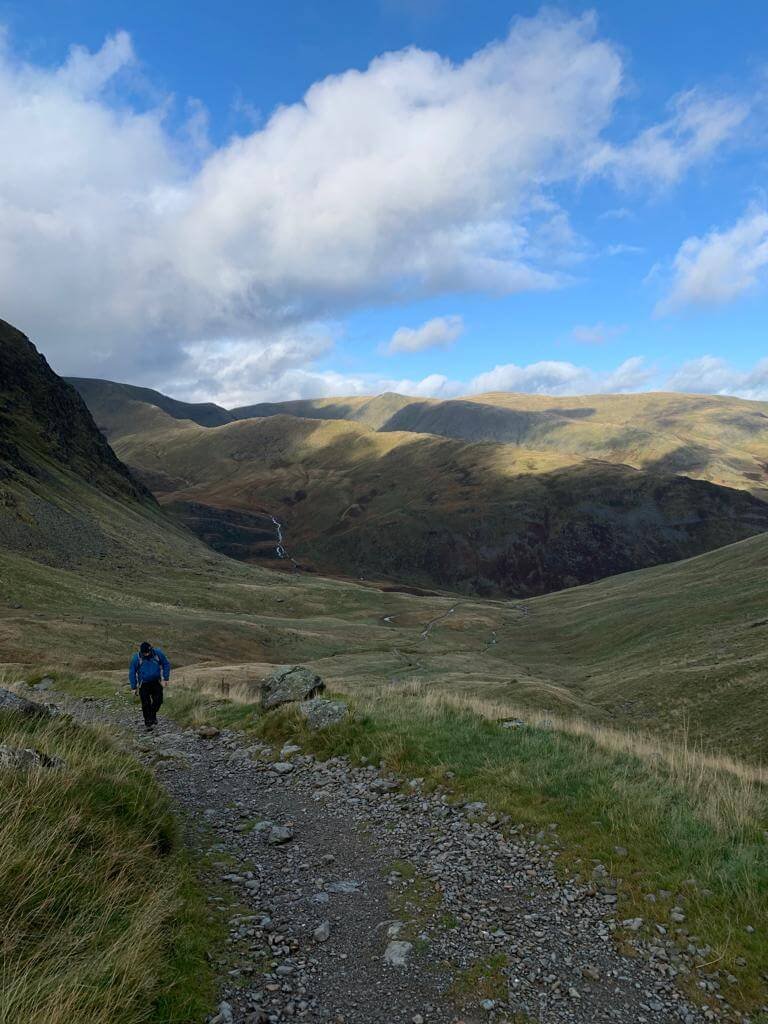
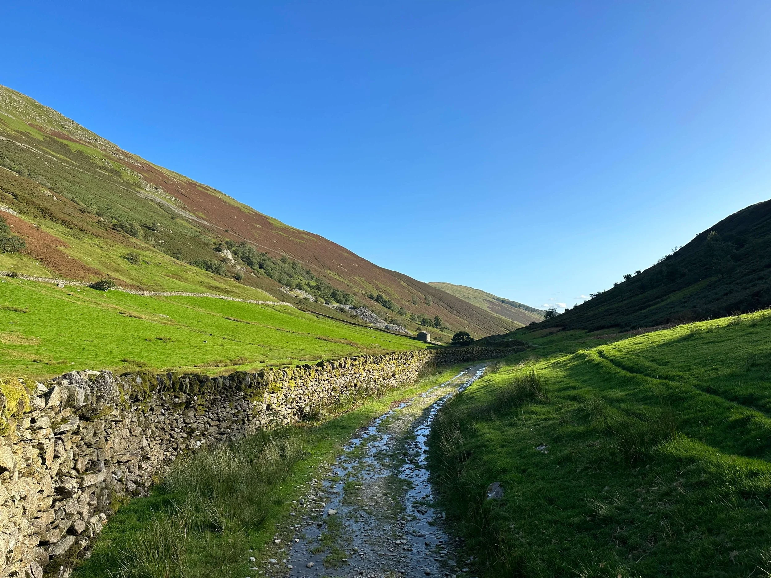
The path along Scot Rake down into the valley is less well-defined and there are areas where running water can make the path slippery so beware of your footing. From here it is a simple descent into the Troutbeck Valley where you will want to end up on the left side of Troutbeck Tongue.
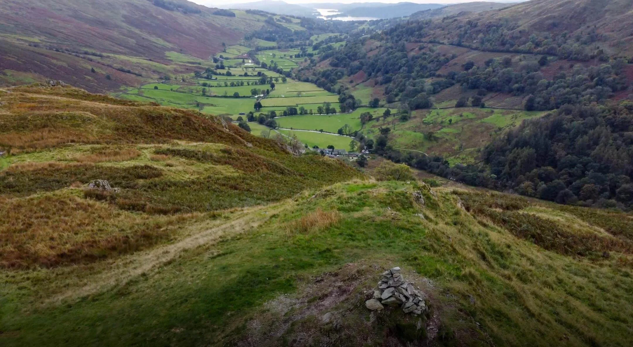
The path from here alongside Troutbeck Tongue is 3.5miles back to the village. You will walk past farms and end up near the Limefitt Holiday Park which is a couple of hundred metres from the starting point at Jesus Church.

My complete route is listed on OS Maps and can be seen HERE
YOKE, ILL BELL, & FROSWICK GALLERY


TOP TIPS FOR WALKING THIS ROUTE
Get to the parking area early, especially on weekends or during school holidays. Although the area isn’t as busy as many other main Lakeland towns, the parking can fill up quickly.
This is a long route with nearly 10 miles of walking and 800m of total ascent. Allow yourself time to complete the walk and come well prepared.
If you find value in this content please consider supporting the website by clicking the image below and buying me a coffee.

Alternatively, you can use the tip jar: https://monzo.me/simonburgess8
MORE FROM THE FAR EASTERN FELLS