The Knott | Wainwrights Far Eastern Fells
HARTER FELL
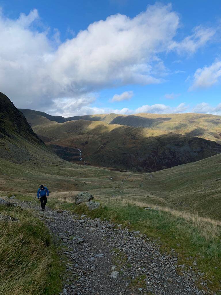
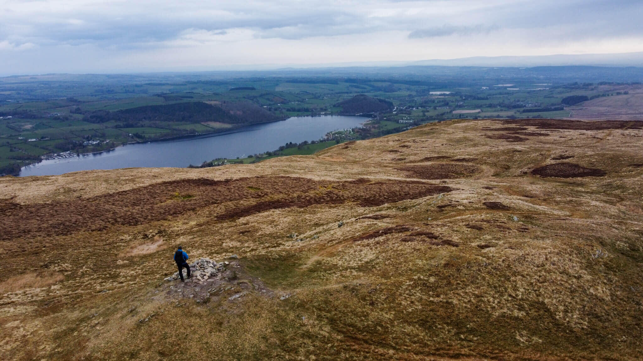
The sharp walk up to the summit of Harter Fell in Mardale is a good wake-up call to your body for the rest of the walk. From the car park at Haweswater Reservoir a well-maintained path leads its way, winding towards Harter Fell summit. At 778 metres high, Harter Fell is prominent and offers spectacular views back across Haweswater.
HARTER FELL, MARDALE ILL BELL, HIGH STREET, AND KIDSTY PIKE WALK
HARTER FELL INFORMATION
HEIGHT IN METRES 778m
HEIGHT IN FEET 2555ft
RANGE Far Eastern Fells
GRID REFERENCE NY 459093
HAVE YOU WALKED HARTER FELL? LET ME KNOW IN THE COMMENTS
HARTER FELL ROUTE
My route started at the car park on the banks of Haweswater reservoir. Keeping Branstree Fell (saving for another day) on your left, the path to Harter Fell is a well-maintained gravel path that winds its way towards Harter Fell. This initial section of the walk takes you a swift 500m+ from the car park to the summit.
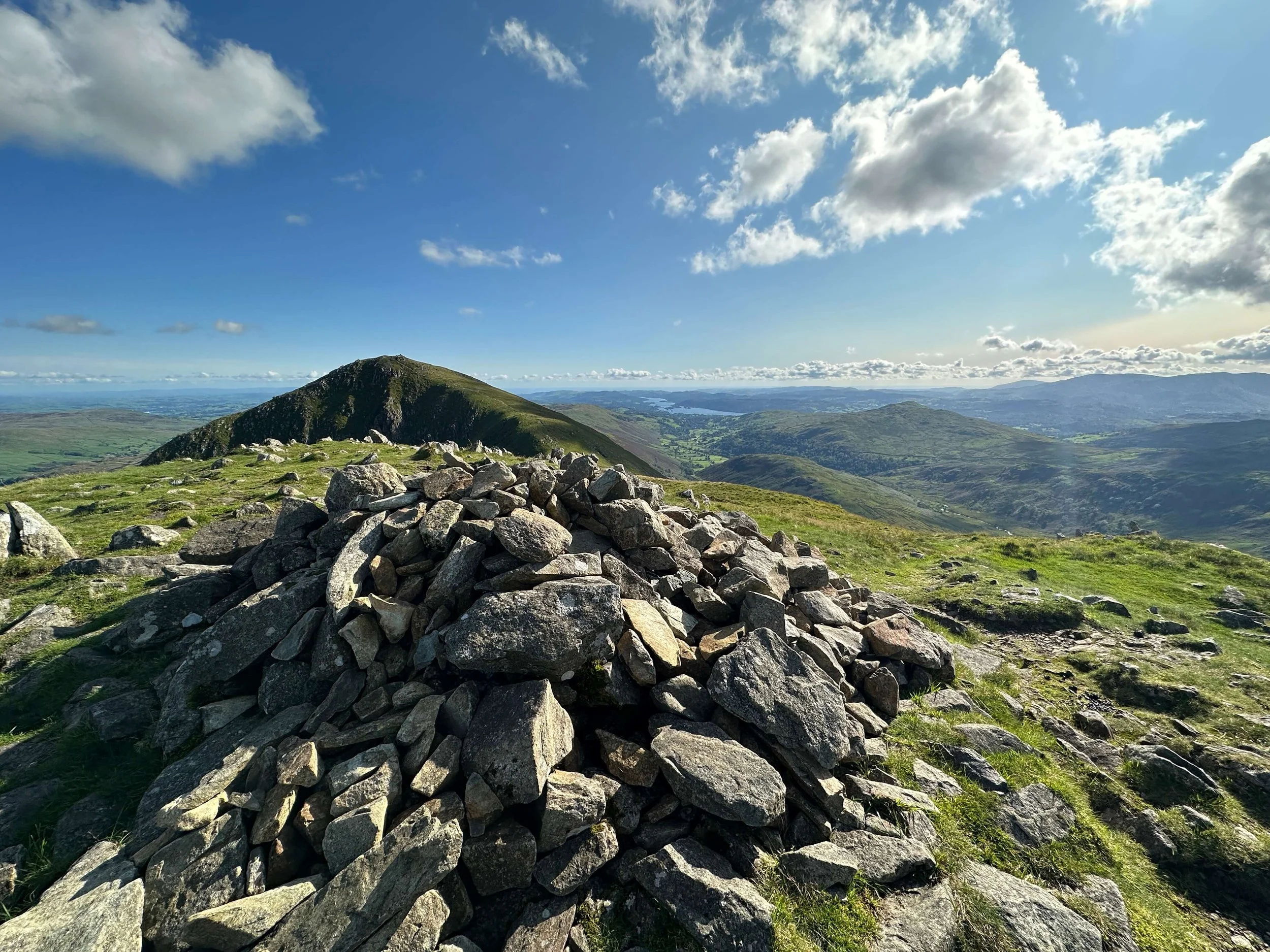
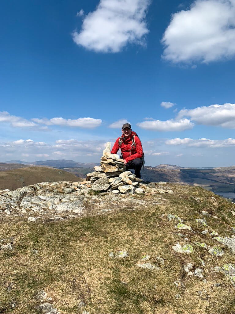
Once at Harter Fell, the real fun begins with views back across Haweswater Reservoir and down towards Blea water. As the path approaches Mardale Ill Bell, it will go down into a depression before rising back up to Mardale Ill Bell. This part of the path crosses the Nan Bield Pass and offers views out towards Kentmere Common and the Kentmere Reservoir. The conditions on the path are rocky ( Watch the video - 3mins 28secs to see the path) so be careful of your footing here. The summit of Mardale Ill Bell is marked with a Cairn.
This route continues onwards towards its highest point, High Street at 828m. Leaving Mardale Ill Bell towards High Street is fairly dull with a simple, sometimes boggy path. At 828m the cairn at Racecourse Hill marks the summit of High Street and is fairly plain. If windy the long wall lining the roman road can offer some protection from the wind.
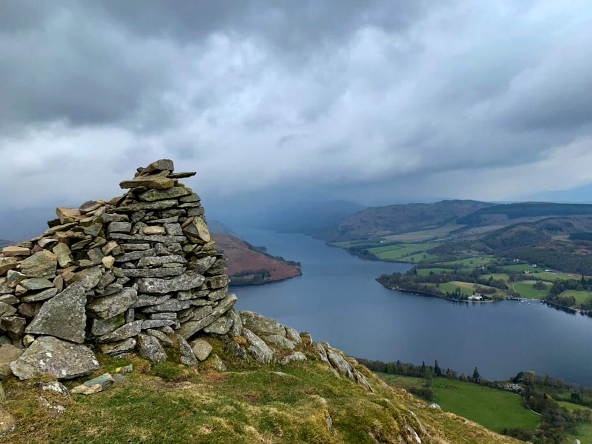
Keeping the wall on your left, the route continues to amble its way along High Street and could be continued towards The Knott and AngleTarn Pikes. This route however takes a sharp right towards Rampsgill Head and Kidsty Pike. It is only know writing this that I am wondering why Rampsgill Head wasnt added to this route!! Regardless, my route continued to Kidsty Pike and back down towards Hawewater Reservoir. The route down from Kidsty Pike was rocky and challenging and deserves to be treated with caution.
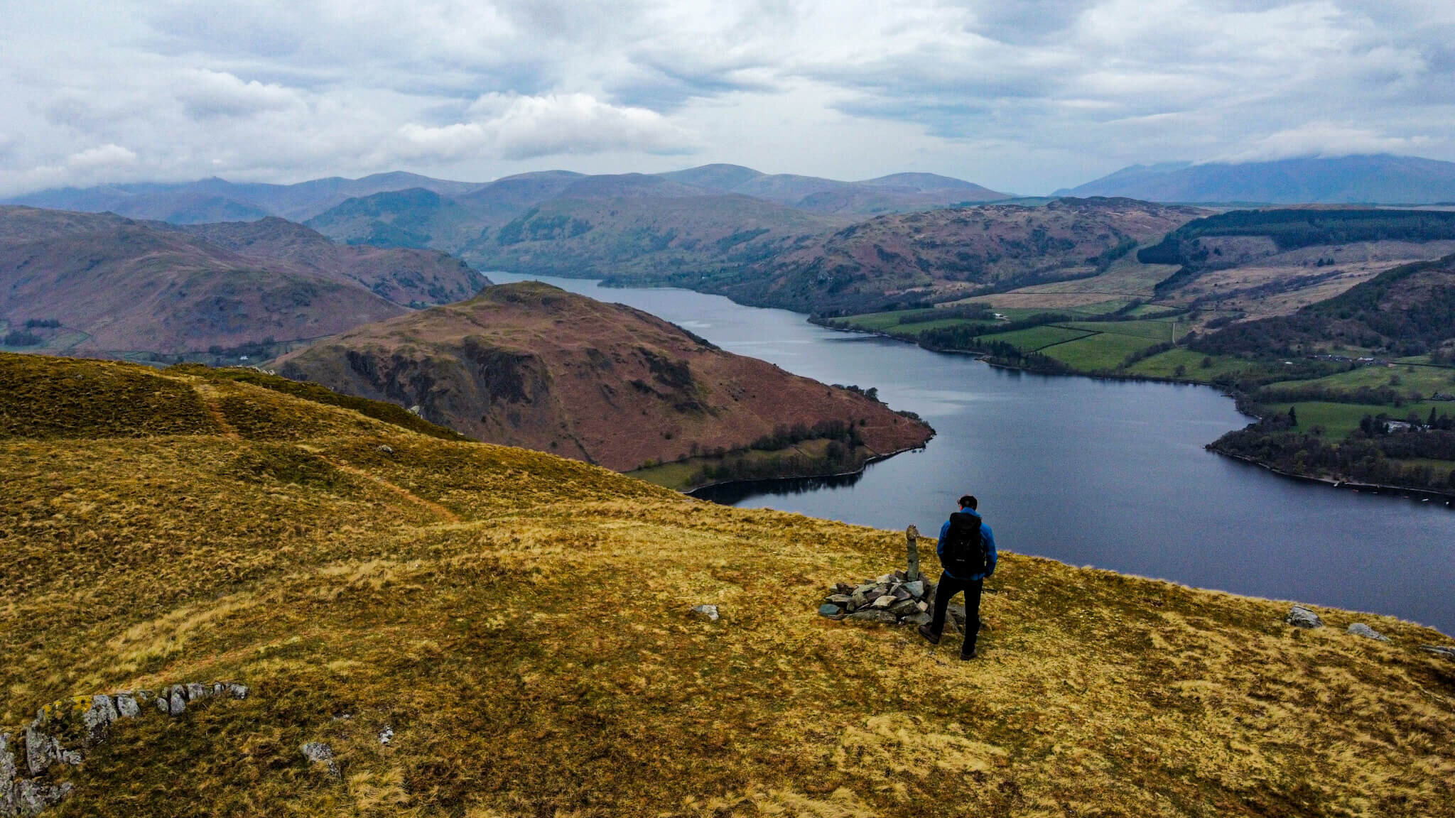
This route finishes with a nice amble along the edges of Haweswater and back to the car park.
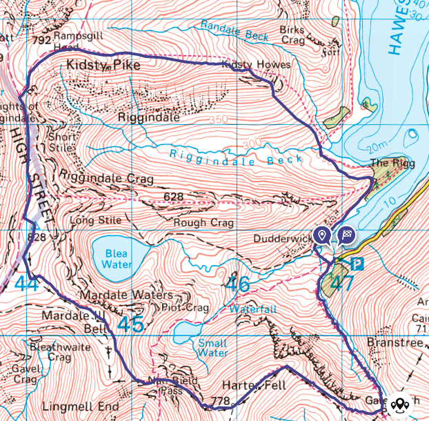
APPROPIATE MAP


WAINWRIGHT’S GUIDES

HARTER FELL MAP
HARTER FELL RELATED POSTS