The Knott | Wainwrights Far Eastern Fells
THE KNOTT
The Knott summit in the Lake District is part of the Far Eastern Fells and stands at 739m. Easily combined with other notable Far Eastern Fells such as; Angletarn Pikes, Rest Dodd, or Brock Crags. I approached The Knott from the village of Hartsop heading past Hayeswater along my route. You can check out my route via the following link.
THE KNOTT WALK
THE KNOTT INFORMATION
HEIGHT IN METRES 739m
HEIGHT IN FEET 2425ft
RANGE Far Eastern Fells
GRID REFERENCE NY 437126
HAVE YOU WALKED THE KNOTT ? LET ME KNOW IN THE COMMENTS
THE KNOTT ROUTE

My route started in the village of Hartsop (173m) where there is a car park with an honesty box. From the car park, there is a steady path that crosses over Hayeswater Gill before climbing further keeping the gill on your left. Just before reaching the Hayeswater Reservoir another bridge, this time wooden will take you back across the gill, and direct you to a knew path heading up towards The Knott.
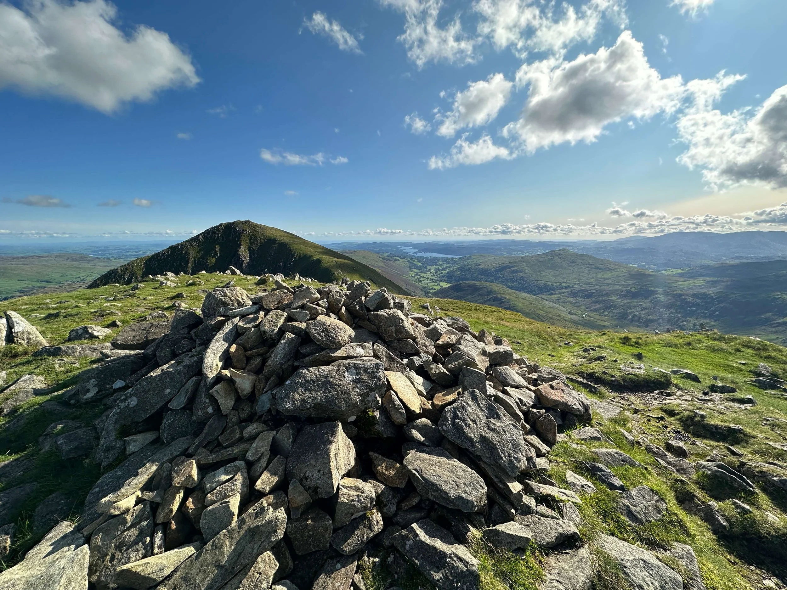
The Knott is the highest point on this route and is accessed by a well-made path that winds its way up towards the summit. The summit of The Knott is marked by a Cairn. As you may see from watching the video I was not at the summit for long due to the conditions.
Heading down from The Knott, briefly along the original path you will take a turn towards Satura Crag. It is worth noting that heading to Rest Dodd is also a possibility and could be added to your route to bag an extra Wainwright.
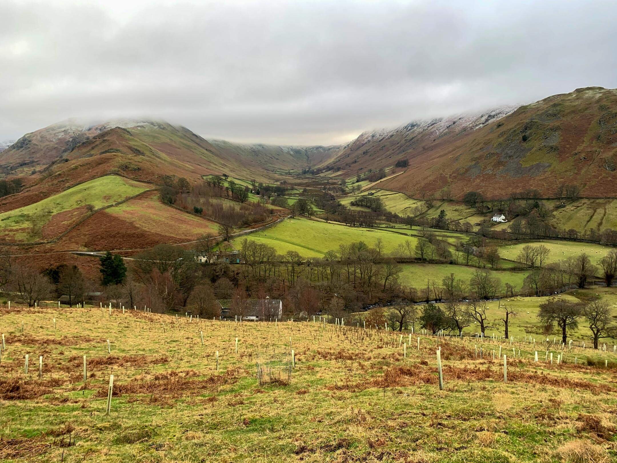
Satura Crag is rough and rugged offering plenty of opportunity for shelter from the wind. Keeping a stone wall to your left until you find a wooden gate (without a gate) you will pass through and head across to Brock Crags. It is possible to detour from Brock Crags towards Angletarn Pikes if you would like to add a further Wainright to your route, or maybe a wild swim in the tarn.
The route down from Brock Crags finishes in the shelter of Calf Close, a woodland lining Angletarn Beck. At the base of the woodland you will cut back upon yourself and down into the village of Hartsop.
APPROPIATE MAP


WAINWRIGHT’S GUIDES

THE KNOTT MAP
THE KNOTT RELATED POSTS